Mount Apatite things to do, attractions, restaurants, events info and trip planning
Basic Info
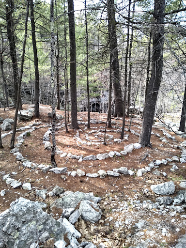
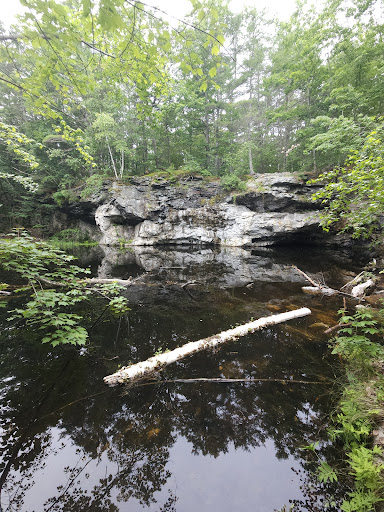
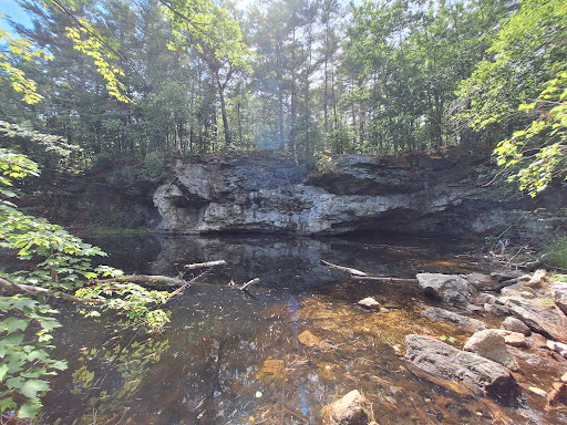
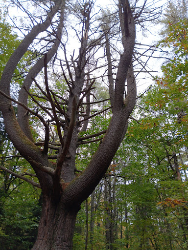
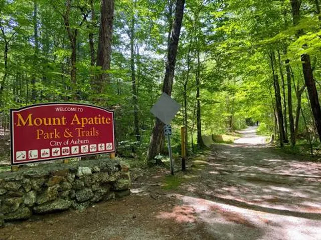
Mount Apatite
Auburn, ME 04210
4.6(212)
Closed
Save
spot
spot
Ratings & Description
Info
Outdoor
Adventure
Scenic
Family friendly
Pet friendly
Off the beaten path
attractions: , restaurants: , local businesses:
Phone
(207) 333-6601
Website
auburnmaine.gov
Open hoursSee all hours
Fri7 AM - 7 PMClosed
Plan your stay

Pet-friendly Hotels in Auburn
Find a cozy hotel nearby and make it a full experience.

Affordable Hotels in Auburn
Find a cozy hotel nearby and make it a full experience.

The Coolest Hotels You Haven't Heard Of (Yet)
Find a cozy hotel nearby and make it a full experience.

Trending Stays Worth the Hype in Auburn
Find a cozy hotel nearby and make it a full experience.
Reviews
Live events
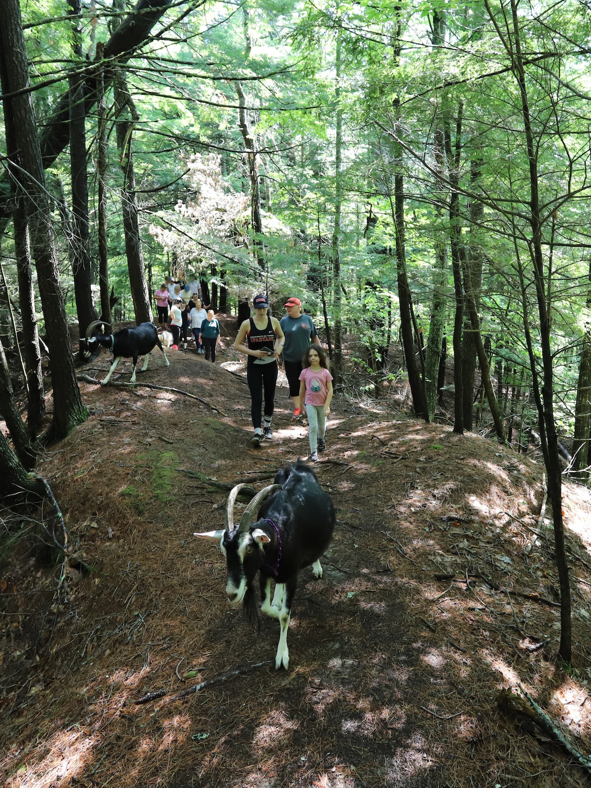
Hike with Alpine dairy goats at Ten Apple Farms
Mon, Feb 16 • 1:00 PM
Gray, Maine, 04039, United States
View details

Thos. Moser Workshop Tour
Fri, Feb 13 • 10:00 AM
72 Wright's Landing Road Auburn, ME 04210
View details

Valentines Day Cookie Decorating
Fri, Feb 13 • 11:30 AM
15 Farm View Dr, New Gloucester, ME, United States, Maine 04260
View details