Aztec UFO Crash Site things to do, attractions, restaurants, events info and trip planning
Basic Info
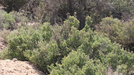
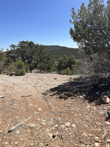
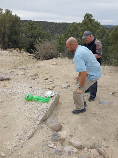
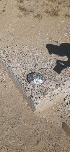
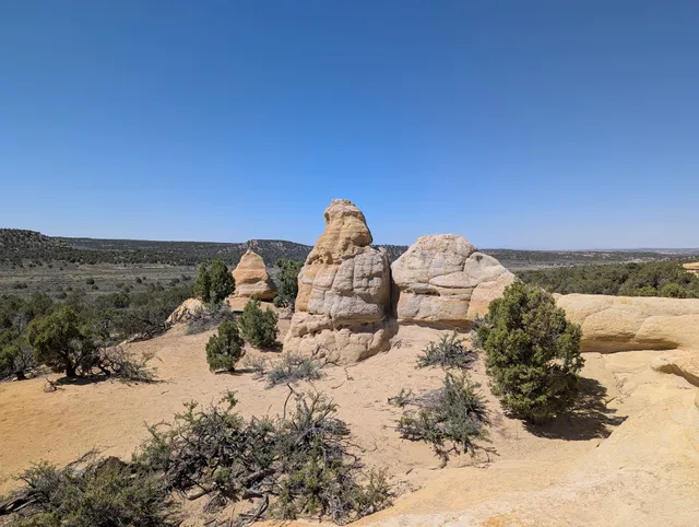
Aztec UFO Crash Site
Hart Canyon, Aztec, NM 87410
4.0(33)
Open 24 hours
Save
spot
spot
Ratings & Description
Info
Cultural
Outdoor
Adventure
Off the beaten path
attractions: , restaurants: , local businesses:
Phone
(888) 565-5553
Plan your stay

Pet-friendly Hotels in Aztec
Find a cozy hotel nearby and make it a full experience.

Affordable Hotels in Aztec
Find a cozy hotel nearby and make it a full experience.

The Coolest Hotels You Haven't Heard Of (Yet)
Find a cozy hotel nearby and make it a full experience.

Trending Stays Worth the Hype in Aztec
Find a cozy hotel nearby and make it a full experience.
Reviews
Live events

Building a Better Backyard Garden
Fri, Feb 27 • 3:00 PM
400 Gossett Drive Aztec, NM 87410
View details

SkyBurger Turns UNO
Sat, Feb 28 • 2:00 PM
1100 W. Aztec Blvd, Aztec, NM, United States
View details

HUNKS The Show at Dinos Hideaway and Lounge (Farmington, NM) 03/04/26
Wed, Mar 4 • 7:00 PM
405 County Road 390 Farmington, NM 87401
View details