Capitol Creek Trailhead things to do, attractions, restaurants, events info and trip planning
Basic Info
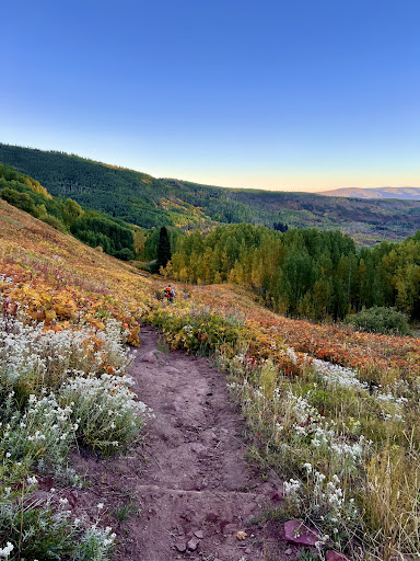
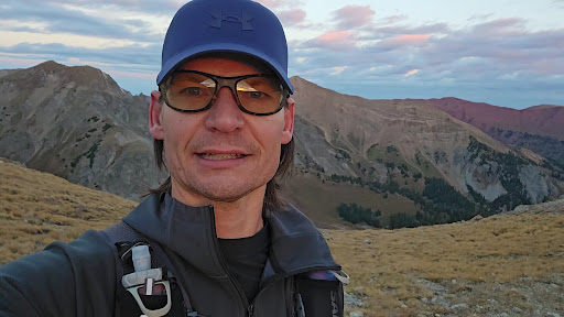
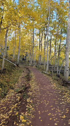
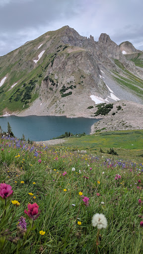
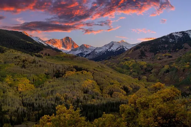
Capitol Creek Trailhead
8700 Capitol Creek Rd, Snowmass, CO 81654
4.8(44)
Open until 12:00 AM
Save
spot
spot
Ratings & Description
Info
Outdoor
Adventure
Scenic
Pet friendly
Off the beaten path
attractions: , restaurants: , local businesses:
Website
fs.usda.gov
Open hoursSee all hours
FriOpen 24 hoursOpen
Plan your stay

Pet-friendly Hotels in Basalt
Find a cozy hotel nearby and make it a full experience.

Affordable Hotels in Basalt
Find a cozy hotel nearby and make it a full experience.

The Coolest Hotels You Haven't Heard Of (Yet)
Find a cozy hotel nearby and make it a full experience.

Trending Stays Worth the Hype in Basalt
Find a cozy hotel nearby and make it a full experience.
Reviews
Live events

Singles Mixer at the St. Regis Resort in Aspen!
Thu, Feb 26 • 6:00 PM
315 East Dean Street Aspen, CO 81611
View details

Palm Tree Music Festival Tickets
Fri, Feb 20 • 2:30 PM
Rio Grande Trail at Aspen, Aspen, Colorado, United States
View details

Arōe x Aspen IV Wellness Pop-Up @ The Mollie Hotel (Palm Tree Fest Weekend)
Fri, Feb 20 • 7:00 AM
111 South Garmisch Street Aspen, CO 81611
View details