Huffman MetroPark things to do, attractions, restaurants, events info and trip planning

Basic Info
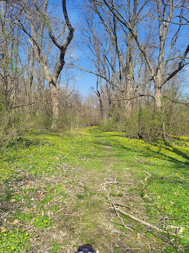
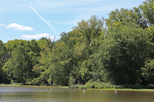
Huffman MetroPark
4090 Lower Valley Pike, Dayton, OH 45424
4.5(286)
Open until 8:00 PM
Save
spot
spot
Ratings & Description
Info
Outdoor
Adventure
Scenic
Family friendly
Pet friendly
attractions: , restaurants: , local businesses:
Phone
(937) 275-7275
Website
metroparks.org
Open hoursSee all hours
Sat8 AM - 8 PMOpen
Plan your stay

Pet-friendly Hotels in Bath Township
Find a cozy hotel nearby and make it a full experience.

Affordable Hotels in Bath Township
Find a cozy hotel nearby and make it a full experience.

The Coolest Hotels You Haven't Heard Of (Yet)
Find a cozy hotel nearby and make it a full experience.

Trending Stays Worth the Hype in Bath Township
Find a cozy hotel nearby and make it a full experience.
Reviews
Live events

In-Person Free Coding Workshop For Kids at Dayton, OH (7-14 yrs)
Sat, Feb 21 • 11:00 AM
3661 Maxton Road Dayton, OH 45414
View details

VALENTINE WEDDING SHOW AT BUSHNELL
Sat, Feb 21 • 12:00 PM
22 North Fountain Avenue Springfield, OH 45502
View details

Shaping Tomorrow’s Built Environment: Concrete Industry Update for Design
Thu, Feb 26 • 12:00 PM
3680 Wyse Road Dayton, OH 45414
View details