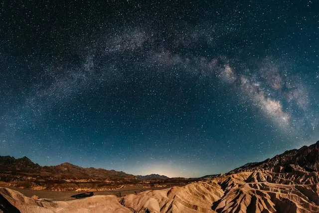
You know I have lived in Nevada for quite some time, and am still finding out new things to catch my curious nature. This particular adventure was inspired by fellow Yelper May. I saw her photos and was immediately intrigued.
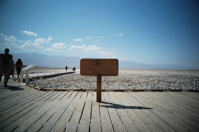
Upon entering Death Valley there was a self serve kiosk to pay for your entrance. We paid the $30.00 and pulled out our phones to navigate us to this famous spot where everyone takes their photos.
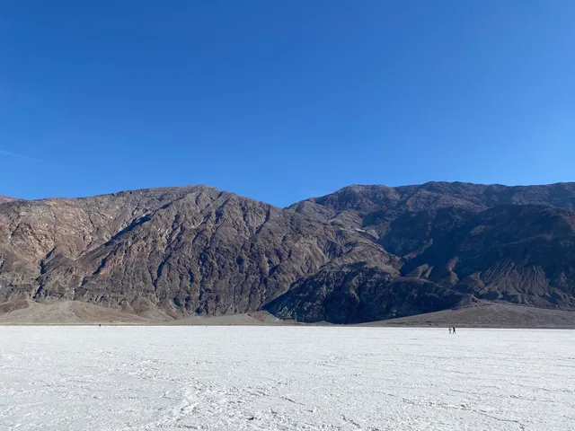
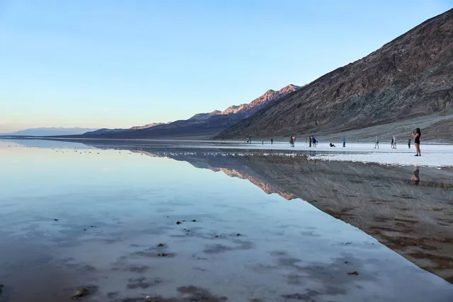
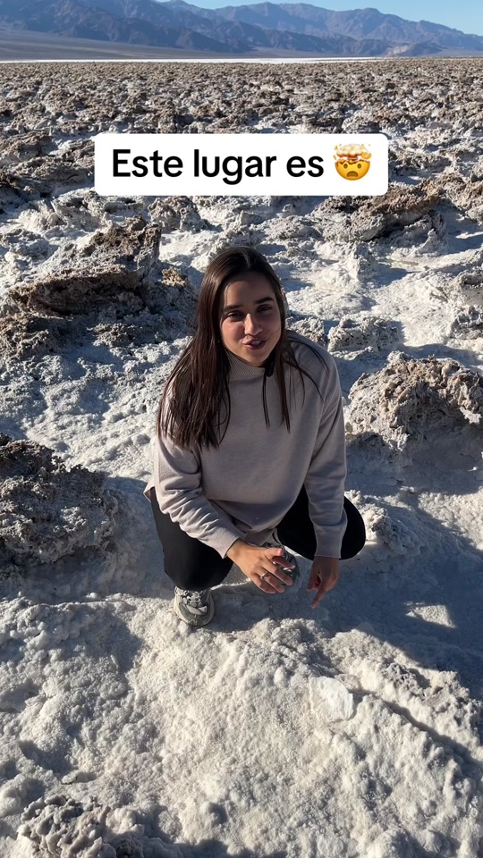
Upon arrival I didnt automatically see the dock type area as the parking was so intense we had to drive down a ways, and hike down the rock area to the salt areas below. Once we arrived at the famous spot where all the photos are taken the thought of true insignificance took over. What a wonder to be surrounded by something of such magnitude, while we are just the size of normal humans to walk these grounds. It was breathtaking. You dont realize how enormous something is until you are engulfed in it.
Badwater Basin is the lowest point in America. It is exactly 282 ft below sea level. As you are walking, there is a small marker up in the mountains facing east that shows where sea level is at. This Basin is named Badwater due to a mule that refused to drink the water as it was just to salty. This particular pool is home to a snail that is only found here.
There was a lake that was on these grounds many thousands of years ago. When the lake evaporated the salt deposits were left behind. You can find the geometric salt polygons as water rises up and evaporates. To get to these it is a short easy trek from the dock, almost 1.5 miles roundtrip. The salt flats are about 200 square miles. The flats are comprised of calcite, gypsum, borax, and sodium chloride. The air is amazing to breathe in.
Would most def recommend - the pricing is fair for the beauty you are about to see and enjoy. However be smart. In the summer our weather is HOT - so I would not advise being adventurous after 11 am in the summer. Def bring water and stay hydrated. Heat stroke is not a...
Read moreBadwater Basin is probably the most famous location in Death Valley. This is the lowest (280 feet below sea level) and hottest location in the United States. You can see the basin from your vehicle or experience it by taking a short hike into the salt flats.
The Badwater Basin trail is a 1-mile return trek into the basin and back to the carpark. Throughout the trail, you can see the salt flats stretching for many miles along the valley. The hike is flat and easy. Yet it is expectedly very dry and hot so do take water with you even if only venturing a short way into the salt flats. You'll need sunglasses as well as the salt flats reflect a lot of sunlight making it very bright.
You will start to see the salt flats just next to the carpark. However, the further you hike into the flats, the less they have been disturbed by human foot traffic. In short, they become more and more impressive to view the further you go. We walked around .5 mile into the flat where the ground became solid white with many circular shaped salt formations. This was really neat to see. All in all, we spent around 45 minutes here during the late morning.
Badwater Basin is located along Highway 190 around 17 miles south of the Furnace Creek Visitor Centre. You'll find a fair sized carpark but be prepared to wait a bit if it is already full when you arrive. This happened to us, we had to wait around 5 minutes until a space had cleared allowing us to park. There are also toilet facilities and information panels if you want to learn about this unique location in...
Read moreIncredible to see this much water here... it is normally tall, crunchy salt peaks (although the ground has always been damp if you sit down on it). Previously, this corner of the park was relatively uncrowded, but with constant news coverage & and articles, it was pretty packed this trip. This is an amazing spot for night photography. Even in January, it can be warm one day and intensely foggy & chilly the next. Travel with preparedness! Little to no cell svc all throughout the park, if it's raining then flash floods are a serious possibility, there are no shoulders on the roads which are flush with the desert floor and have washed out during heavy rains. Badwater Basin is still 55 miles even after you've entered the park (just north of Shoshone). No services except at Furnace Creek & an outpost near the campgrounds. Weather is all over the place. It can be snowing in the mountain ranges & hot on the ground then freezing at night. Winds are VERY strong in the basin. There's no place else quite like it. Enjoy it and take it all in...it's...
Read more