Apple Orchard Falls Trailhead things to do, attractions, restaurants, events info and trip planning
Basic Info
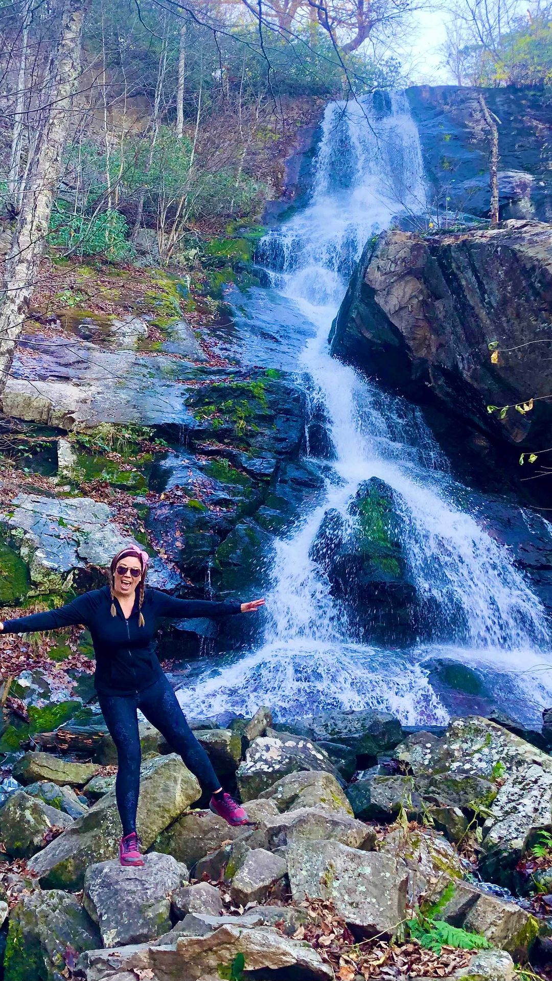
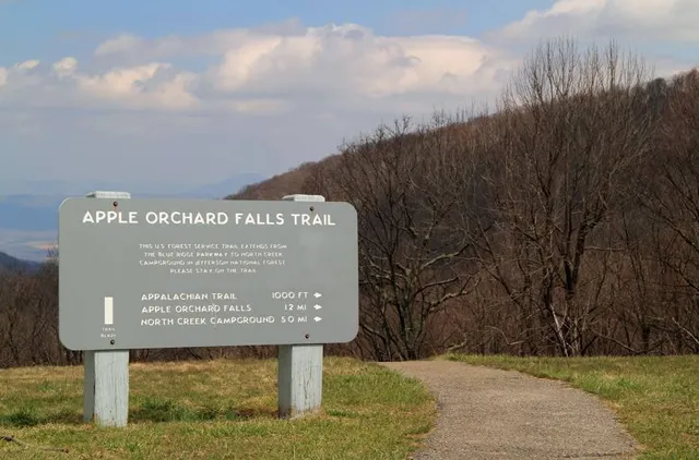
Apple Orchard Falls Trailhead
Blue Ridge Pkwy, Buchanan, VA 24066
4.7(165)
Open until 12:00 AM
Save
spot
spot
Ratings & Description
Info
Outdoor
Adventure
Scenic
Pet friendly
attractions: , restaurants: , local businesses:
Open hoursSee all hours
SatOpen 24 hoursOpen
Plan your stay

Pet-friendly Hotels in Bedford
Find a cozy hotel nearby and make it a full experience.

Affordable Hotels in Bedford
Find a cozy hotel nearby and make it a full experience.

The Coolest Hotels You Haven't Heard Of (Yet)
Find a cozy hotel nearby and make it a full experience.

Trending Stays Worth the Hype in Bedford
Find a cozy hotel nearby and make it a full experience.
Reviews
Live events

The Buena Vista Burn
Sat, Feb 21 • 12:00 PM
Glen Maury Park Rd, Buena Vista, VA 24416, United States
View details

RARE FORM Entertains in the Social Quarters
Sat, Feb 21 • 8:00 PM
715 Lynchburg Moose Lodge, 2301 US-221, Lynchburg, VA 24501-6717, United States
View details

AKC Fast CAT
Fri, Feb 27 • 9:00 AM
Boonsboro Ruritan Club, 1499 Coffee Rd,Lynchburg,VA,United States
View details