Columbia Bottom Conservation Area things to do, attractions, restaurants, events info and trip planning

Basic Info
Columbia Bottom Conservation Area
801 Strodtman Rd, St. Louis, MO 63138
4.5(181)
Open 24 hours
Save
spot
spot
Ratings & Description
Info
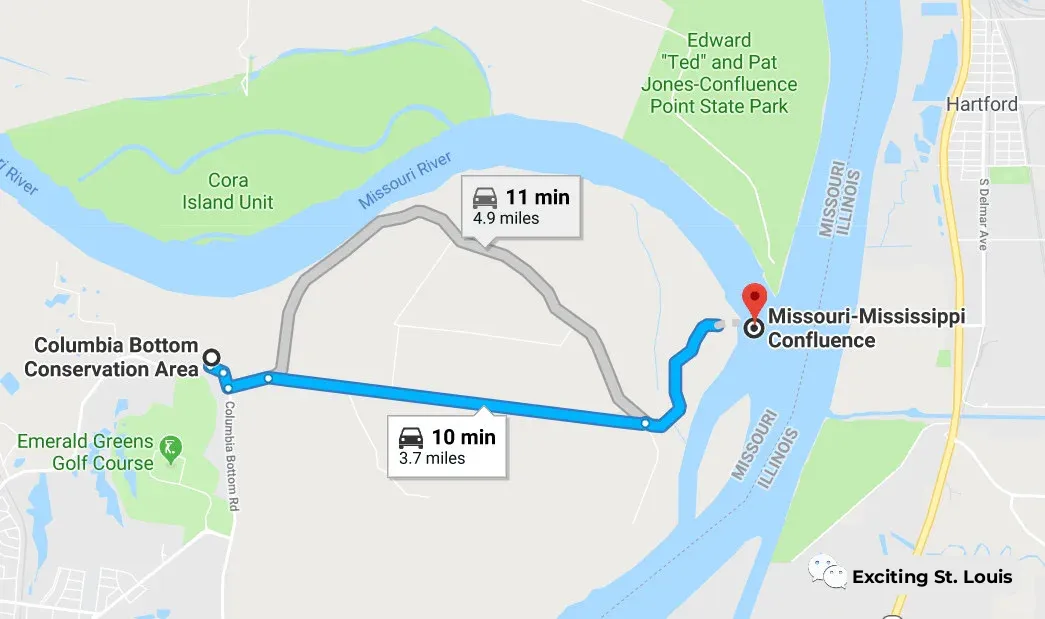
The Columbia Bottom Conservation Area is a 4,256-acre conservation area located on the south side of the Missouri River at its confluence with the Mississippi River.
Outdoor
Adventure
Scenic
Family friendly
Pet friendly
attractions: , restaurants: , local businesses:
Phone
(314) 877-6014
Website
mdc.mo.gov
Plan your stay

Pet-friendly Hotels in Bellefontaine Neighbors
Find a cozy hotel nearby and make it a full experience.

Affordable Hotels in Bellefontaine Neighbors
Find a cozy hotel nearby and make it a full experience.

The Coolest Hotels You Haven't Heard Of (Yet)
Find a cozy hotel nearby and make it a full experience.

Trending Stays Worth the Hype in Bellefontaine Neighbors
Find a cozy hotel nearby and make it a full experience.
Reviews
Live events

Life Is Good with a Mug of Love
Thu, Feb 12 • 12:00 PM
136 South Main Street Saint Charles, MO 63301
View details

Womens self-defense class
Thu, Feb 12 • 7:00 PM
5900 North Lindbergh Boulevard Hazelwood, MO 63042
View details

Voices & Visions Concert Series: The Wailing Woman
Thu, Feb 12 • 7:30 PM
1200 South Lindbergh Boulevard St. Louis, MO 63131
View details