Highest Point in Oklahoma Trailhead things to do, attractions, restaurants, events info and trip planning

Basic Info
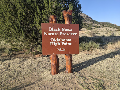
Highest Point in Oklahoma Trailhead
Black Mesa Trail, Kenton, OK 73946
4.8(70)
Open until 12:00 AM
Save
spot
spot
Ratings & Description
Info
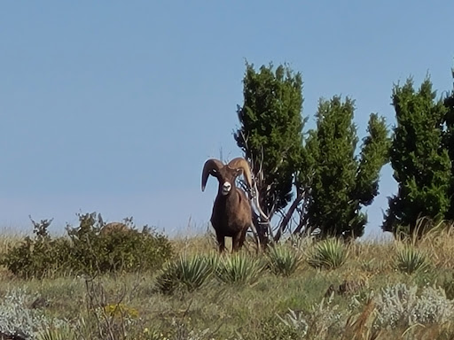
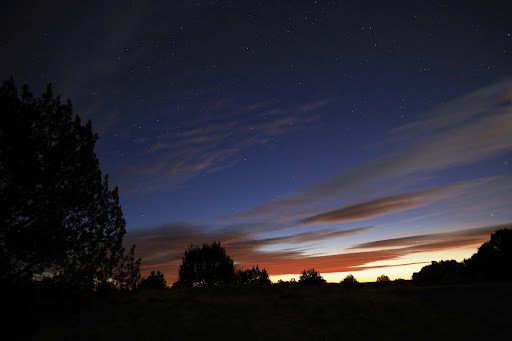
Outdoor
Adventure
Scenic
Off the beaten path
Pet friendly
attractions: Black Mesa Preserve, restaurants: , local businesses: Dinosaur Tracks
Website
highpoint.guide
Open hoursSee all hours
SatOpen 24 hoursOpen
Plan your stay

Pet-friendly Hotels in Boise City
Find a cozy hotel nearby and make it a full experience.

Affordable Hotels in Boise City
Find a cozy hotel nearby and make it a full experience.

The Coolest Hotels You Haven't Heard Of (Yet)
Find a cozy hotel nearby and make it a full experience.

Trending Stays Worth the Hype in Boise City
Find a cozy hotel nearby and make it a full experience.
Reviews
Nearby attractions of Highest Point in Oklahoma Trailhead
Black Mesa Preserve
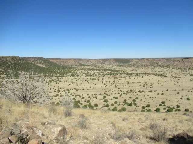
Black Mesa Preserve
4.9
(76)
Closed
Click for details
Nearby local services of Highest Point in Oklahoma Trailhead
Dinosaur Tracks
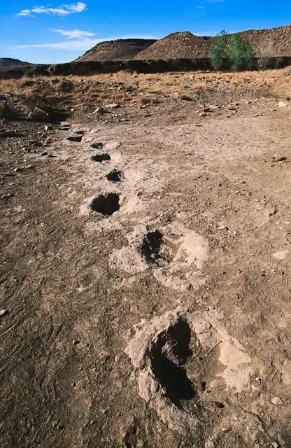
Dinosaur Tracks
4.2
(68)
Click for details