Los Padres National Forest things to do, attractions, restaurants, events info and trip planning
Basic Info
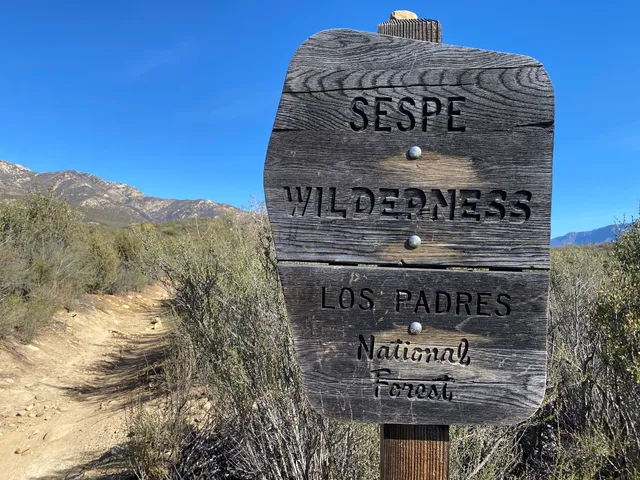
Los Padres National Forest
1980 Old Mission Dr, Solvang, CA 93464
4.7(2.7K)
Open until 12:00 AM
Save
spot
spot
Ratings & Description
Info
Los Padres National Forest is a United States national forest in southern and central California. Administered by the United States Forest Service, Los Padres includes most of the mountainous land along the California coast from Ventura to Monterey, extending inland. Elevations range from sea level to 8,847 feet.
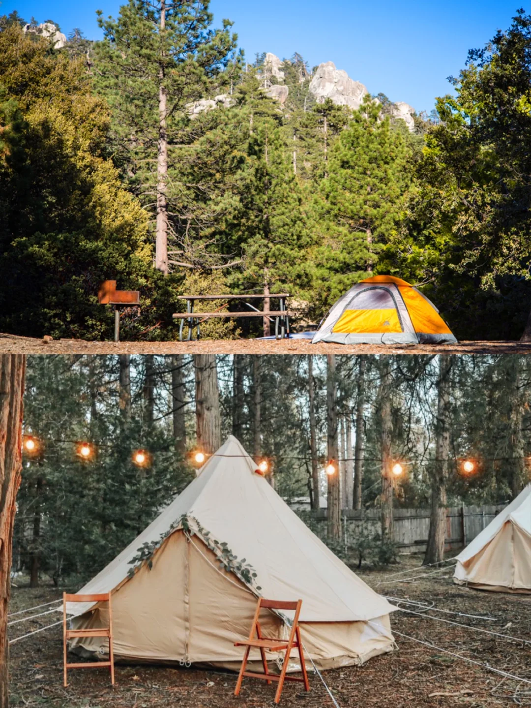
Outdoor
Adventure
Family friendly
Pet friendly
attractions: , restaurants: , local businesses:
Phone
(805) 968-6640
Website
fs.usda.gov
Open hoursSee all hours
SunClosedOpen
Plan your stay

Pet-friendly Hotels in Santa Maria
Find a cozy hotel nearby and make it a full experience.

Affordable Hotels in Santa Maria
Find a cozy hotel nearby and make it a full experience.

The Coolest Hotels You Haven't Heard Of (Yet)
Find a cozy hotel nearby and make it a full experience.

Trending Stays Worth the Hype in Santa Maria
Find a cozy hotel nearby and make it a full experience.