Sierra Buttes Fire Lookout things to do, attractions, restaurants, events info and trip planning
Basic Info
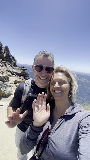
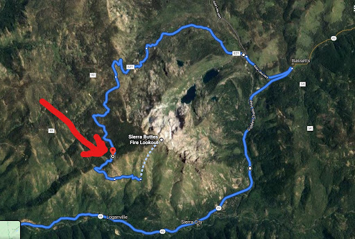
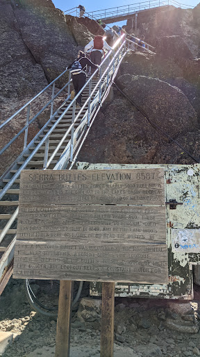
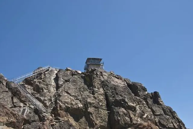
Sierra Buttes Fire Lookout
Pacific Crest Trail, Sierra City, CA 96125
4.9(69)
Open 24 hours
Save
spot
spot
Ratings & Description
Info
Outdoor
Adventure
Scenic
Off the beaten path
attractions: , restaurants: , local businesses:
Website
fs.usda.gov
Plan your stay

Pet-friendly Hotels in California
Find a cozy hotel nearby and make it a full experience.

Affordable Hotels in California
Find a cozy hotel nearby and make it a full experience.

The Coolest Hotels You Haven't Heard Of (Yet)
Find a cozy hotel nearby and make it a full experience.

Trending Stays Worth the Hype in California
Find a cozy hotel nearby and make it a full experience.
Reviews
Live events

Full Moon Ski January 31st
Sat, Jan 31 • 3:00 PM
1 Unnamed Road Johnsville, CA 96103
View details