The Forest of Nisene Marks State Park things to do, attractions, restaurants, events info and trip planning
Basic Info
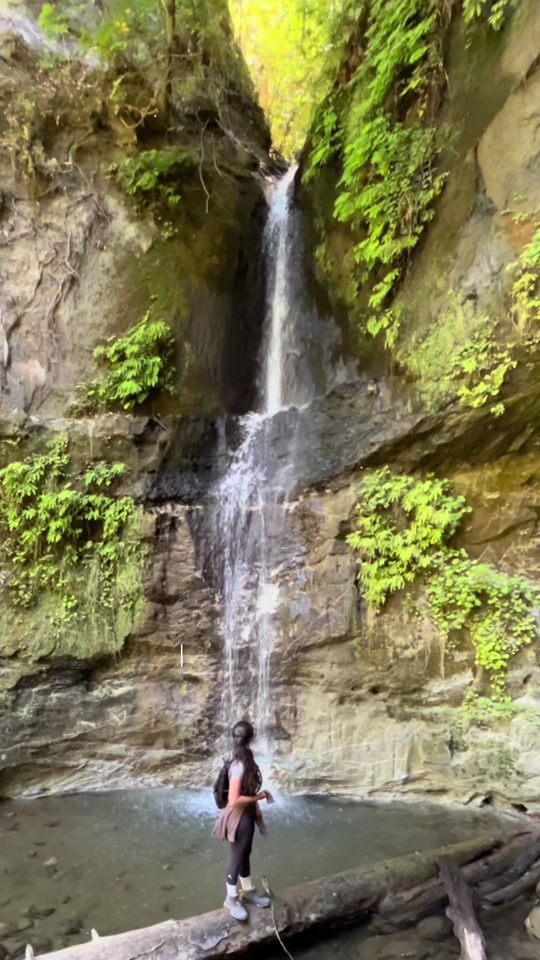
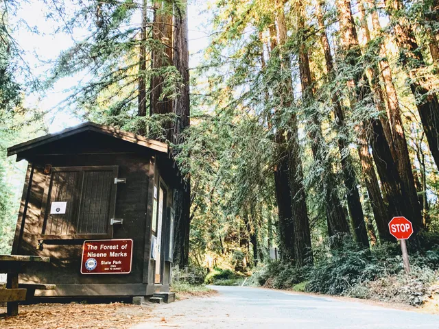
The Forest of Nisene Marks State Park
Aptos Creek Rd, Aptos, CA 95003
4.8(722)
Open 24 hours

tickets
Save
spot
spot
Ratings & Description
Info
The Forest of Nisene Marks State Park is a state park of California, United States, protecting a secondary forest in the watershed of Aptos Creek and Soquel Creek within the Santa Cruz Mountains.
Outdoor
Adventure
Scenic
Family friendly
Pet friendly
Off the beaten path
attractions: , restaurants: , local businesses:
Phone
(831) 763-7063
Website
parks.ca.gov
Plan your stay

Pet-friendly Hotels in Capitola
Find a cozy hotel nearby and make it a full experience.

Affordable Hotels in Capitola
Find a cozy hotel nearby and make it a full experience.

The Coolest Hotels You Haven't Heard Of (Yet)
Find a cozy hotel nearby and make it a full experience.

Trending Stays Worth the Hype in Capitola
Find a cozy hotel nearby and make it a full experience.
Reviews
Live events

FLOW & FORM : R&B and Yoga
Sat, Feb 14 • 12:30 PM
2125 South Winchester Boulevard Campbell, CA 95008
View details
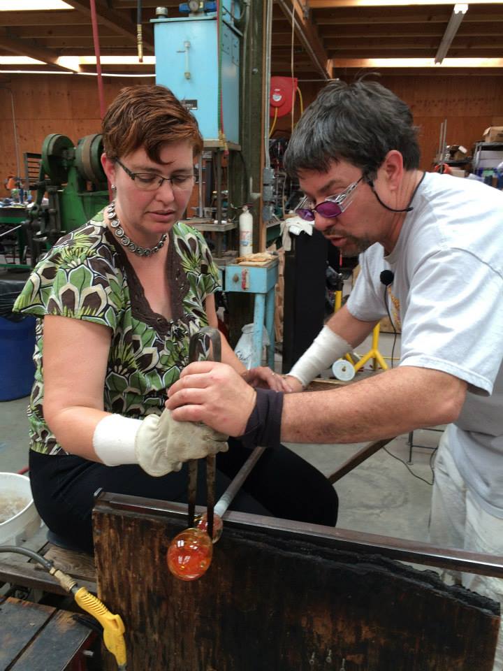
The Hot Glass Experience
Wed, Feb 11 • 2:00 PM
Davenport, California, 95017
View details
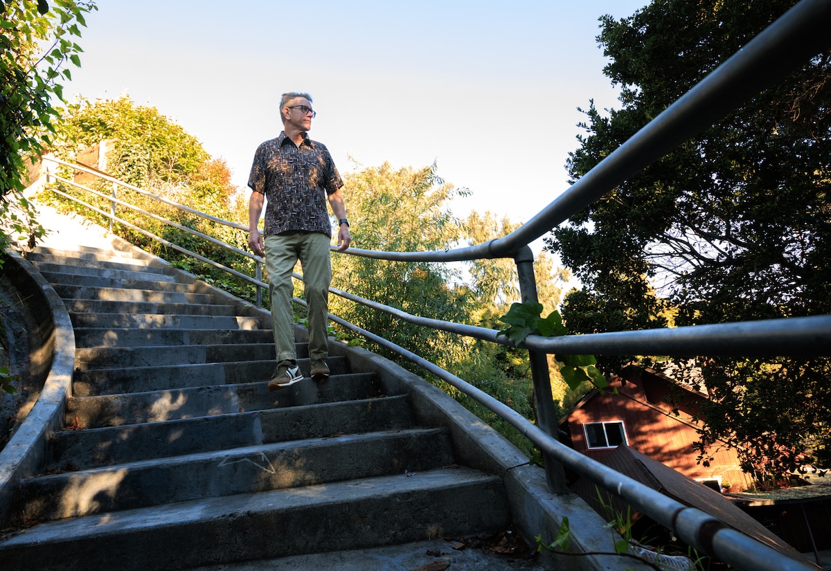
Santa Cruz Beach Hill to Mission Hill Walking Tour
Fri, Feb 13 • 10:00 AM
Santa Cruz, California, 95060
View details