It's an easy family activity with magnificent sights and history! The path of the trail can be a little confusing as it tries to avoid the railroad right-of-way, but if you just keep going in the direction you think you should you'll get there anyway. Personally, on the way back I find the gravel rail access road pretty interesting but I doubt that the rail operators agree.
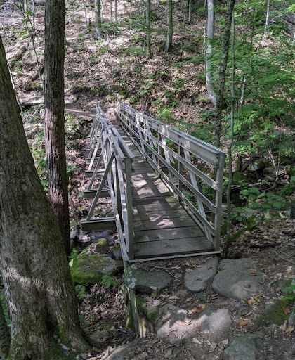
You might think, hey the first 2 bridges are missing! No, they're just hard to reach. You get a view of the first one not far from the parking areas with a secluded path down to the river. To actually get on it you have to cross a scary bridge with no margin or bushwhack a bit. This bridge is still in service, so best to stay off it. The next hidden bridge is petite and hard to spot. See the image. As you are outbound, the trail meets a wider trail on the left and the wider trail doubles back the way you just came from. See green arrow. You have to cross the active tracks.
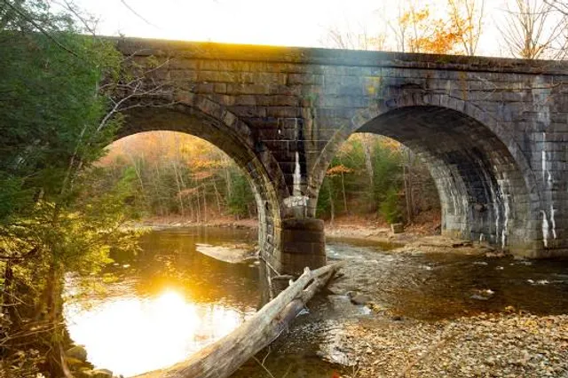
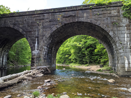
The first bridge you encounter on the proper trail is incredible. The trail makes a tee at an informative "you are here" sign. Before continuing right, check out the bridge to the left! Popular swimming spot but the way down to the river is VERY steep. After you cross the bridge, there is a secret blasted railroad cut you can easily bushwhack through. Neatly intersects the current railway. See image.
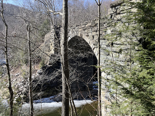
If you are a bushwhacker like me, there is an interesting spot that is cut off by the river and the railroad. See photo, use a map to spot this location, not far from parking. You can find the remains of a sluiceway, overshot water wheel, and many building foundations. It's the site of an 1856 saw mill, and more interesting, an 1873 "Shoddie Mill" also spelled "Shoddy" depending on the era. You may recognize the word as meaning something poorly made. In this context the word is referring to the recycling wool. Old and remnant finished wool goods are shredded into Shoddie and re-formed into blankets and other things. You may be of an age to remember wool felt blankets that were so itchy and horrible you'd rather freeze. Walk the giant green path in the image.
Also of interest in this same area is the large clearing shown with historic building locations and water features drawn on. The long story of this place ends with art, treachery, lust and murder! And a big pottery kiln, still there. Too much...
Read more