Summit Trail Main Trailhead things to do, attractions, restaurants, events info and trip planning

Basic Info
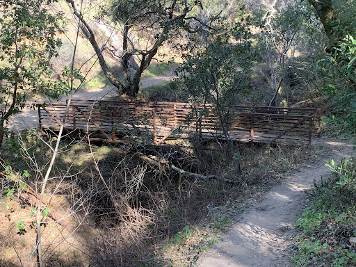
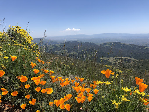
Summit Trail Main Trailhead
2675 Mt Diablo Scenic Blvd, Danville, CA 94506
4.6(18)
Open 24 hours
Save
spot
spot
Ratings & Description
Info
Outdoor
Adventure
Scenic
Off the beaten path
Pet friendly
attractions: Summit Trail Diablo Trailhead, restaurants: , local businesses:
Plan your stay

Pet-friendly Hotels in Danville
Find a cozy hotel nearby and make it a full experience.

Affordable Hotels in Danville
Find a cozy hotel nearby and make it a full experience.

The Coolest Hotels You Haven't Heard Of (Yet)
Find a cozy hotel nearby and make it a full experience.

Trending Stays Worth the Hype in Danville
Find a cozy hotel nearby and make it a full experience.
Reviews
Live events

The Alabama Solution: A Special Film Screening & Conversation
Wed, Feb 11 • 5:00 PM
3200 Grand Avenue Oakland, CA 94610
View details

Lorenzo Manor PTA Movie Night - Zootopia 2
Fri, Feb 13 • 6:00 PM
18250 Bengal Avenue Hayward, CA 94541
View details

Dublin Lunar New Year Gala
Sat, Feb 14 • 1:00 PM
7600 Amador Valley Boulevard Dublin, CA 94568
View details
Nearby attractions of Summit Trail Main Trailhead
Summit Trail Diablo Trailhead

Summit Trail Diablo Trailhead
4.5
(22)
Open 24 hours
Click for details