MA-CT-RI Tri-State Marker things to do, attractions, restaurants, events info and trip planning
Basic Info
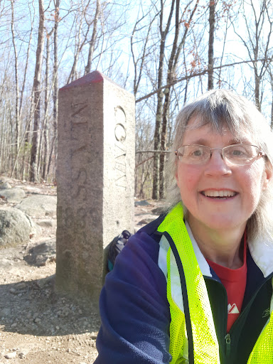
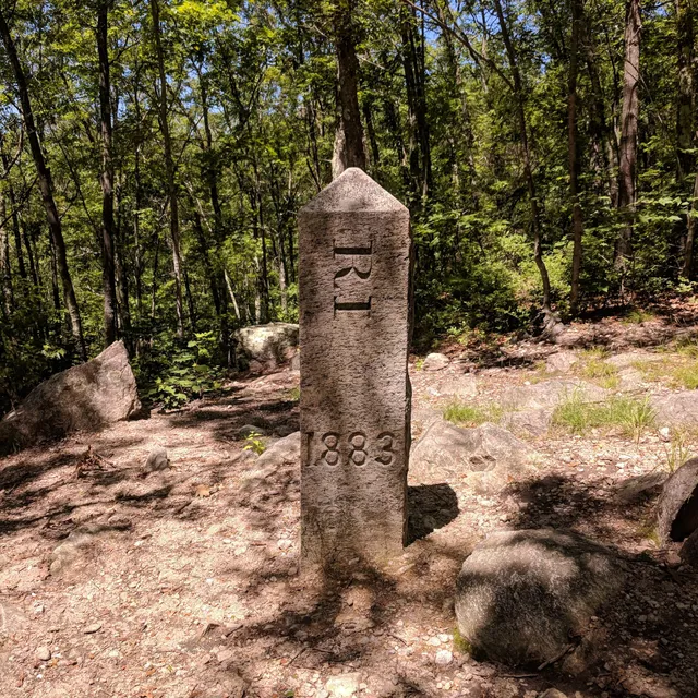
MA-CT-RI Tri-State Marker
Thompson, CT 06277, United States
4.6(106)
Open until 12:00 AM
Save
spot
spot
Ratings & Description
Info
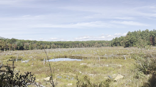
Outdoor
Scenic
attractions: , restaurants: , local businesses:
Open hoursSee all hours
ThuOpen 24 hoursOpen
Plan your stay

Pet-friendly Hotels in Douglas
Find a cozy hotel nearby and make it a full experience.

Affordable Hotels in Douglas
Find a cozy hotel nearby and make it a full experience.

The Coolest Hotels You Haven't Heard Of (Yet)
Find a cozy hotel nearby and make it a full experience.

Trending Stays Worth the Hype in Douglas
Find a cozy hotel nearby and make it a full experience.
Reviews
Live events

Hearts and Hops: Galentinties Day Tarot Readings at Lops Brewing
Fri, Feb 13 • 5:00 PM
122 North Main Street #Unit #1A Woonsocket, RI 02895
View details

Happily Ever Expo - Wedding Expo - Worcester, MA - February 15
Sun, Feb 15 • 12:30 PM
125 Front Street Worcester, MA 01608
View details
Bond with Rescue Horses
Fri, Feb 13 • 10:30 AM
Hampton, Connecticut, 06247
View details