Laurel Fork Falls things to do, attractions, restaurants, events info and trip planning
Basic Info
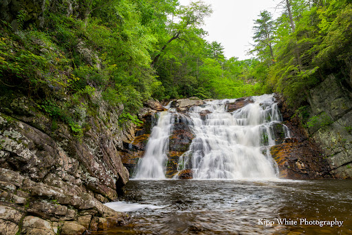
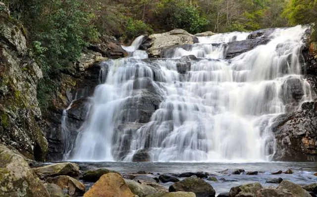
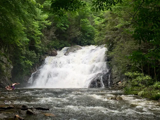
Laurel Fork Falls
Hampton, TN 37658
4.8(222)
Open until 12:00 AM
Save
spot
spot
Ratings & Description
Info
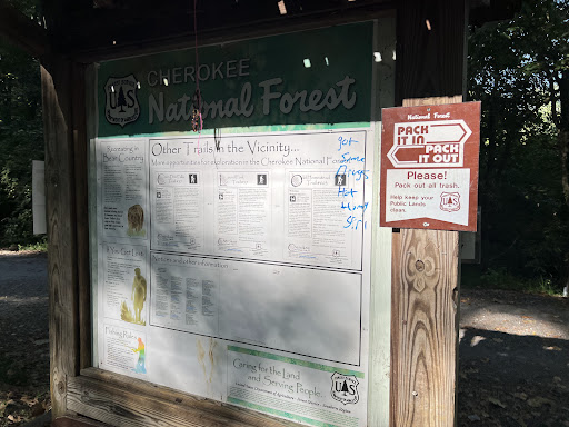
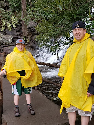
The Laurel Falls Trail is an American hiking trail, in the Great Smoky Mountains National Park of Sevier County, Tennessee. The trail ascends Cove Mountain, leading past Laurel Falls, one of the most popular waterfalls in the national park, en route to the summit of Cove Mountain and the Cove Mountain fire tower.
Outdoor
Adventure
Scenic
Family friendly
Pet friendly
attractions: , restaurants: , local businesses: Laurel Falls
Website
easttn.us
Open hoursSee all hours
FriOpen 24 hoursOpen
Plan your stay

Pet-friendly Hotels in Elizabethton
Find a cozy hotel nearby and make it a full experience.

Affordable Hotels in Elizabethton
Find a cozy hotel nearby and make it a full experience.

The Coolest Hotels You Haven't Heard Of (Yet)
Find a cozy hotel nearby and make it a full experience.

Trending Stays Worth the Hype in Elizabethton
Find a cozy hotel nearby and make it a full experience.
Reviews
Live events

Forge a hairstick, bracelet, or keychain
Fri, Feb 20 • 10:00 AM
Johnson City, Tennessee, 37601, United States
View details

Superbull Bull Riding
Thu, Feb 19 • 7:00 PM
Freedom Hall Civic Center - TN, 1320 Pactolas Road Johnson, Johnson City, United States
View details

UNC Greensboro Spartans at East Tennessee State Buccaneers Womens Basketball
Fri, Feb 20 • 12:00 AM
Brooks Gymnasium, 1127 John Robert Bell Drive, Johnson City, TN 37604, US, United States
View details
Nearby local services of Laurel Fork Falls
Laurel Falls
Laurel Falls
5.0
(19)
Click for details