Mount Davis Pennsylvania Highpoint Trailhead things to do, attractions, restaurants, events info and trip planning
Basic Info
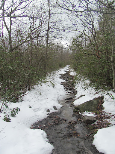
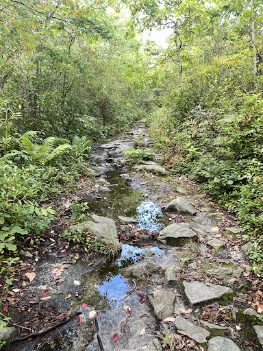
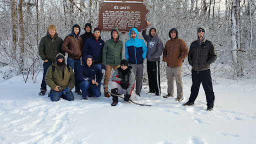
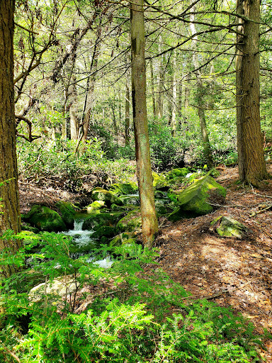
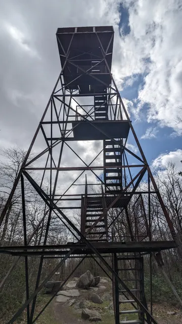
Mount Davis Pennsylvania Highpoint Trailhead
Mt Davis Rd, Meyersdale, PA 15552
4.6(41)
Open until 12:00 AM
Save
spot
spot
Ratings & Description
Info
Outdoor
Adventure
Scenic
Off the beaten path
Pet friendly
attractions: , restaurants: , local businesses:
Website
highpoint.guide
Open hoursSee all hours
TueOpen 24 hoursOpen
Plan your stay

Pet-friendly Hotels in Elk Lick Township
Find a cozy hotel nearby and make it a full experience.

Affordable Hotels in Elk Lick Township
Find a cozy hotel nearby and make it a full experience.

The Coolest Hotels You Haven't Heard Of (Yet)
Find a cozy hotel nearby and make it a full experience.

Trending Stays Worth the Hype in Elk Lick Township
Find a cozy hotel nearby and make it a full experience.
Reviews
Live events

February Member Meeting
Thu, Feb 26 • 6:00 PM
Anchor Church, 827 1st Ave,Friendsville, Maryland, United States
View details

Home Preservation Workshop (Dehydration, Canning, Freezing)
Sat, Feb 28 • 1:30 PM
433 West Church Street Somerset, PA 15501
View details

MOUNT POM & TARA TOMS
Sat, Feb 28 • 7:00 PM
15 South Broadway Frostburg, MD 21532
View details