Cataract Falls things to do, attractions, restaurants, events info and trip planning
Basic Info
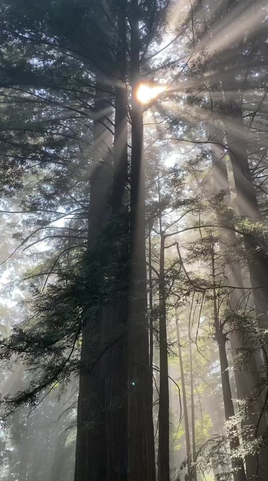
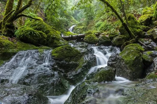
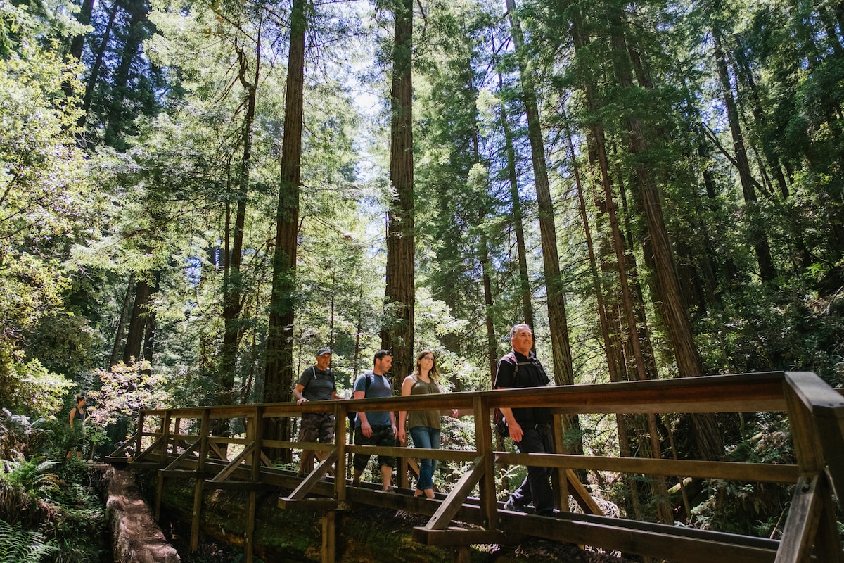
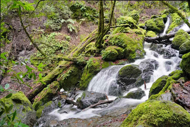
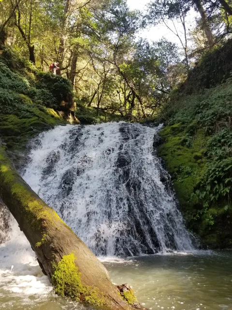
Cataract Falls
Cataract Trail, Stinson Beach, CA 94970
4.8(405)
Open 24 hours

tickets
Save
spot
spot
Ratings & Description
Info
Outdoor
Adventure
Scenic
Pet friendly
Off the beaten path
attractions: Cataract Trailhead, restaurants: , local businesses: Cataract Falls
Phone
(916) 653-6995
Plan your stay

Pet-friendly Hotels in Fairfax
Find a cozy hotel nearby and make it a full experience.

Affordable Hotels in Fairfax
Find a cozy hotel nearby and make it a full experience.

The Coolest Hotels You Haven't Heard Of (Yet)
Find a cozy hotel nearby and make it a full experience.

Trending Stays Worth the Hype in Fairfax
Find a cozy hotel nearby and make it a full experience.
Reviews
Live events

Health Pracitioners of Marin Meetup
Tue, Feb 10 • 6:00 PM
610 D Street #Ste C San Rafael, CA 94901
View details

San Valentines Cruise Party • Singles & Couples @ City Cruises SF
Sat, Feb 14 • 8:00 PM
Pier 3 Hornblower Landing San Francisco, CA 94111
View details
The Redwoods of Marin and Mount Tamalpais
Mon, Feb 9 • 10:00 AM
Sausalito, California, 94965
View details
Nearby attractions of Cataract Falls
Cataract Trailhead
Cataract Trailhead
4.7
(143)
Open 24 hours
Click for details
Nearby local services of Cataract Falls
Cataract Falls
Cataract Falls
4.7
(24)
Click for details