Eye of the Sandias things to do, attractions, restaurants, events info and trip planning

Basic Info
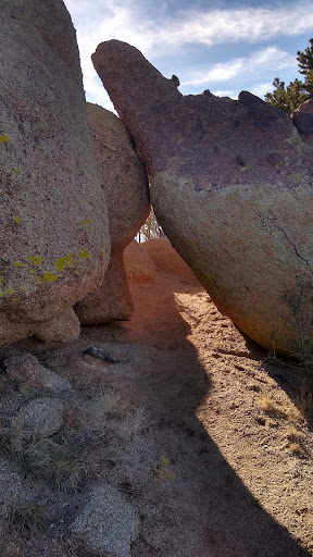
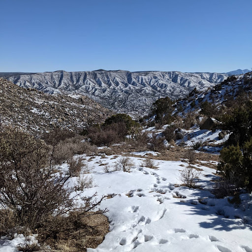
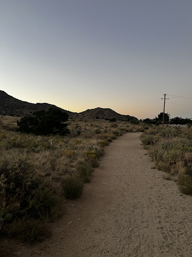
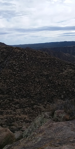
Eye of the Sandias
Albuquerque, NM 87123
4.5(30)
Open until 12:00 AM
Save
spot
spot
Ratings & Description
Info
Outdoor
Scenic
Adventure
Off the beaten path
attractions: , restaurants: , local businesses:
Open hoursSee all hours
SunOpen 24 hoursOpen
Plan your stay

Pet-friendly Hotels in Federal Aviation Administration
Find a cozy hotel nearby and make it a full experience.

Affordable Hotels in Federal Aviation Administration
Find a cozy hotel nearby and make it a full experience.

The Coolest Hotels You Haven't Heard Of (Yet)
Find a cozy hotel nearby and make it a full experience.

Trending Stays Worth the Hype in Federal Aviation Administration
Find a cozy hotel nearby and make it a full experience.
Reviews
Live events

Blackwater Holylight w/ Glassing, Nomestomper
Sun, Feb 15 • 6:00 PM
407 Central Ave. NW Albuquerque, NM 87102
View details

Brain Gang Trivia
Sun, Feb 15 • 4:00 PM
7805 Enchanted Hills Boulevard Northeast Rio Rancho, NM 87144
View details

Ghosts of Albuquerque: Explore the Haunted Past!
Sat, Jan 31 • 11:00 PM
116 N Plaza St NW, Albuquerque, 87104
View details