Winsor Trailhead things to do, attractions, restaurants, events info and trip planning
Basic Info
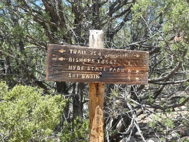
Winsor Trailhead
Hyde Park Rd, Santa Fe, NM 87501
4.8(112)
Open until 12:00 AM

tickets
Save
spot
spot
Ratings & Description
Info
Outdoor
Adventure
Scenic
Pet friendly
Off the beaten path
attractions: Ski Santa Fe, restaurants: , local businesses: Ski Santa Fe
Phone
(505) 438-5300
Website
fs.usda.gov
Open hoursSee all hours
ThuOpen 24 hoursOpen
Plan your stay

Pet-friendly Hotels in Four Corners States
Find a cozy hotel nearby and make it a full experience.

Affordable Hotels in Four Corners States
Find a cozy hotel nearby and make it a full experience.

The Coolest Hotels You Haven't Heard Of (Yet)
Find a cozy hotel nearby and make it a full experience.

Trending Stays Worth the Hype in Four Corners States
Find a cozy hotel nearby and make it a full experience.
Reviews
Live events

Learn the art of leather tooling
Thu, Feb 26 • 10:00 AM
Santa Fe, New Mexico, 87501
View details

Santa Fe Murder Mystery: Solve the case!
Sat, Jan 31 • 11:01 PM
157 W Marcy St, Santa Fe, NM 87501, USA, 87501
View details

Indian Arts Research Center Tour at SAR (Feb)
Fri, Feb 6 • 1:00 PM
School for Advanced Research, 660 Garcia Street, Santa Fe, United States
View details
Nearby attractions of Winsor Trailhead
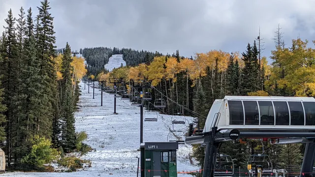
Ski Santa Fe

Ski Santa Fe
4.6
(1.1K)
Closed
Click for details
Nearby local services of Winsor Trailhead
Ski Santa Fe
Ski Santa Fe
4.8
(4)
Click for details