Emery Creek Trail things to do, attractions, restaurants, events info and trip planning
Basic Info
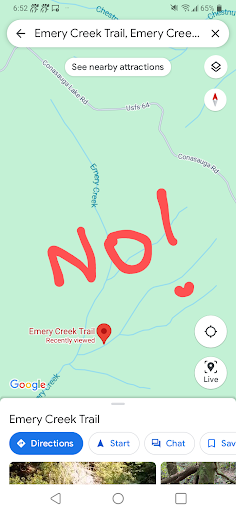
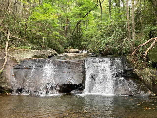
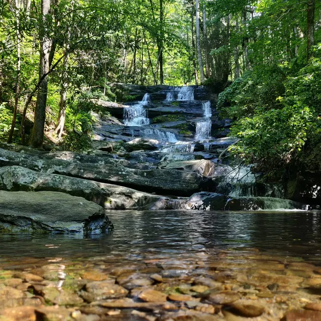
Emery Creek Trail
Emery Creek Trail, Chatsworth, GA 30705
4.7(35)
Open until 12:00 AM
Save
spot
spot
Ratings & Description
Info
Outdoor
Adventure
Scenic
Pet friendly
Off the beaten path
attractions: Emery Creek Trail Trailhead, restaurants: , local businesses: Holly Creek Picnic Area
Website
atlantatrails.com
Open hoursSee all hours
SatOpen 24 hoursOpen
Plan your stay

Pet-friendly Hotels in Georgia
Find a cozy hotel nearby and make it a full experience.

Affordable Hotels in Georgia
Find a cozy hotel nearby and make it a full experience.

The Coolest Hotels You Haven't Heard Of (Yet)
Find a cozy hotel nearby and make it a full experience.

Trending Stays Worth the Hype in Georgia
Find a cozy hotel nearby and make it a full experience.
Reviews
Live events

Crazy Heart at Crescent City Tavern
Sat, Feb 21 • 9:00 PM
Crescent City Tavern, 324 South Depot St.,Dalton, Georgia, United States
View details

Baby Lamb farm hayride tour and interaction
Sun, Feb 22 • 11:00 AM
Ellijay, Georgia, 30540
View details

Views & Vows Venue Tour
Sun, Feb 22 • 1:00 PM
350 Crisp Road Chatsworth, GA 30705
View details
Nearby attractions of Emery Creek Trail
Emery Creek Trail Trailhead
Emery Creek Trail Trailhead
4.7
(167)
Closed
Click for details
Nearby local services of Emery Creek Trail
Holly Creek Picnic Area

Holly Creek Picnic Area
4.7
(85)
Click for details