Scotts Bluff National Monument things to do, attractions, restaurants, events info and trip planning
Basic Info
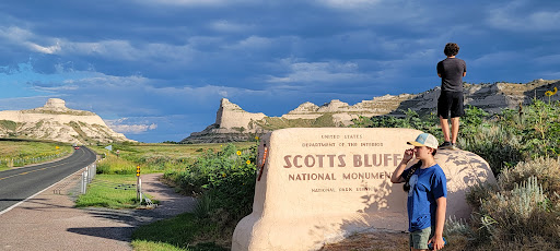
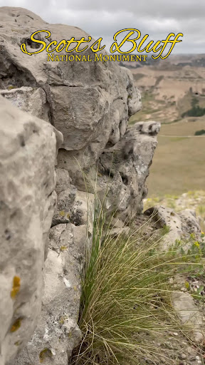
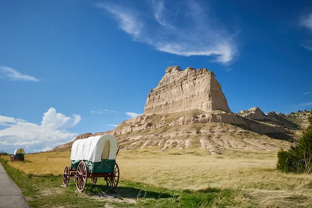
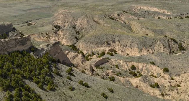
Scotts Bluff National Monument
190276 Old Oregon Trail, Gering, NE 69341
4.8(1.1K)
Open until 4:30 PM
Save
spot
spot
Ratings & Description
Info
Cultural
Outdoor
Scenic
Family friendly
Accessibility
attractions: Scotts Bluff National Monument Visitor Center, Scott Memorial, restaurants: , local businesses: Scotts Bluff National Monument, North Overlook, 190276 Old Oregon Trail
Phone
(308) 436-9700
Website
nps.gov
Open hoursSee all hours
Fri8:30 AM - 4:30 PMOpen
Plan your stay

Pet-friendly Hotels in Gering
Find a cozy hotel nearby and make it a full experience.

Affordable Hotels in Gering
Find a cozy hotel nearby and make it a full experience.

The Coolest Hotels You Haven't Heard Of (Yet)
Find a cozy hotel nearby and make it a full experience.

Trending Stays Worth the Hype in Gering
Find a cozy hotel nearby and make it a full experience.
Reviews
Live events

Next Stop Comedy at Papa Moon Headquarters! - Scottsbluff, NE
Fri, Feb 20 • 5:00 PM
3109 Avenue B Scottsbluff, NE 69361
View details

February Bob Ross Painting (Scottsbluff)
Sat, Feb 21 • 8:00 AM
2620 College Park Scottsbluff, NE 69361
View details

Zumba 2/25
Wed, Feb 25 • 6:30 PM
1601 East 27th Street Aerobics Room G132C Scottsbluff, NE 69361
View details
Nearby attractions of Scotts Bluff National Monument
Scotts Bluff National Monument Visitor Center
Scott Memorial

Scotts Bluff National Monument Visitor Center
4.8
(379)
Open until 5:00 PM
Click for details
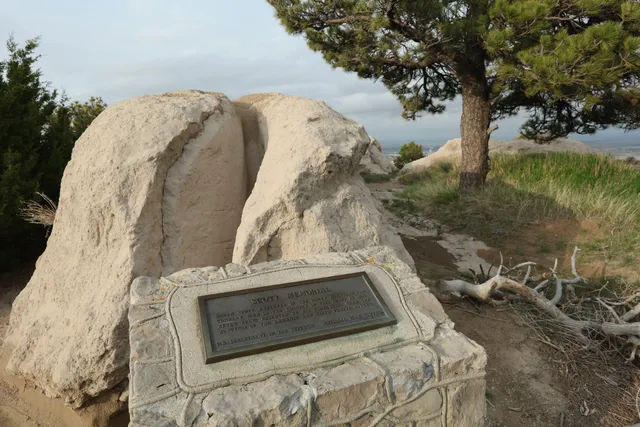
Scott Memorial
4.5
(3)
Open 24 hours
Click for details
Nearby local services of Scotts Bluff National Monument
Scotts Bluff National Monument
North Overlook
190276 Old Oregon Trail

Scotts Bluff National Monument
4.8
(919)
Click for details
North Overlook
4.8
(14)
Click for details

190276 Old Oregon Trail
4.8
(402)
Click for details