Deukmejian Wilderness Park things to do, attractions, restaurants, events info and trip planning
Basic Info
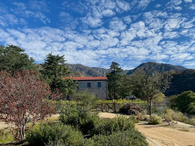
Deukmejian Wilderness Park
3429 Markridge Rd, Glendale, CA 91214
4.8(411)
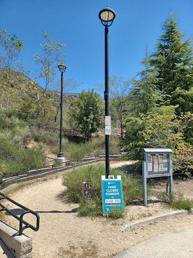
Open 24 hours
Save
spot
spot
Ratings & Description
Info
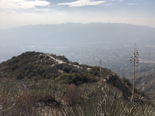
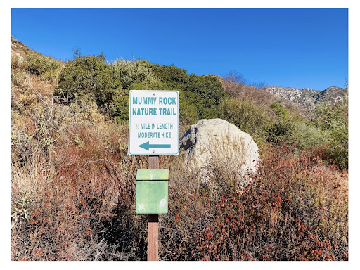
Outdoor
Adventure
Scenic
Pet friendly
Off the beaten path
attractions: , restaurants: , local businesses:
Phone
(818) 548-3795
Website
glendaleca.gov
Plan your stay

Pet-friendly Hotels in Glendale
Find a cozy hotel nearby and make it a full experience.

Affordable Hotels in Glendale
Find a cozy hotel nearby and make it a full experience.

The Coolest Hotels You Haven't Heard Of (Yet)
Find a cozy hotel nearby and make it a full experience.

Trending Stays Worth the Hype in Glendale
Find a cozy hotel nearby and make it a full experience.
Reviews
Live events

Fly an airplane over LA’s epic landmarks
Sun, Jan 18 • 11:00 AM
Los Angeles, California, 91406, United States
View details
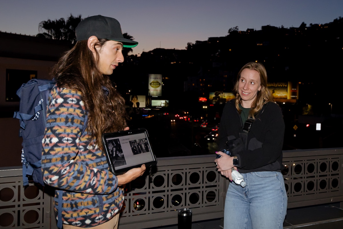
True crime tour of the Sunset Strip
Sun, Jan 18 • 7:00 PM
Los Angeles, California, 90046
View details

Learn to Make Chinese Dumplings at Men & Beasts
Sun, Jan 18 • 10:30 AM
Los Angeles, California, 90026
View details