Tompson Street Reservation things to do, attractions, restaurants, events info and trip planning
Basic Info
Tompson Street Reservation
Gloucester, MA 01930
4.6(23)
Open until 12:00 AM
Save
spot
spot
Ratings & Description
Info
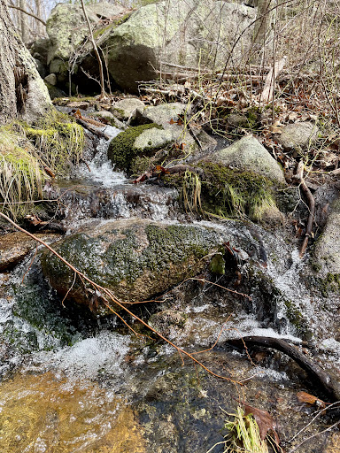
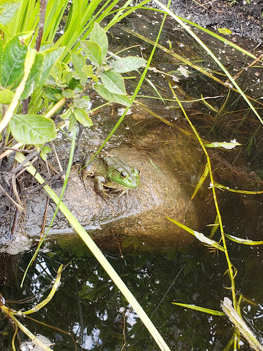
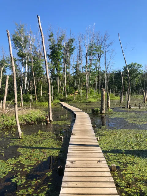
Outdoor
Adventure
Scenic
Family friendly
Pet friendly
Off the beaten path
attractions: Old Tompson Street Cart Path, restaurants: Lobsta Land Restaurant, local businesses: Cape Ann Animal Aid
Phone
(978) 768-7241
Website
ecga.org
Open hoursSee all hours
WedOpen 24 hoursOpen
Plan your stay

Pet-friendly Hotels in Gloucester
Find a cozy hotel nearby and make it a full experience.

Affordable Hotels in Gloucester
Find a cozy hotel nearby and make it a full experience.

The Coolest Hotels You Haven't Heard Of (Yet)
Find a cozy hotel nearby and make it a full experience.

Trending Stays Worth the Hype in Gloucester
Find a cozy hotel nearby and make it a full experience.
Reviews
Live events

The P.S. I Love You Experience
Thu, Feb 12 • 7:00 PM
17 Green Street Newburyport, MA 01950
View details

Juliet Hawkins’ single release party
Thu, Feb 12 • 7:00 PM
285 Cabot Street Beverly, MA 01915
View details

Perreo Sin Amor - Valentines REGGAETON PARTY
Fri, Feb 13 • 8:00 PM
130 Union Street Lynn, MA 01902
View details
Nearby attractions of Tompson Street Reservation
Old Tompson Street Cart Path

Old Tompson Street Cart Path
4.6
(11)
Open until 12:00 AM
Click for details
Nearby restaurants of Tompson Street Reservation
Lobsta Land Restaurant
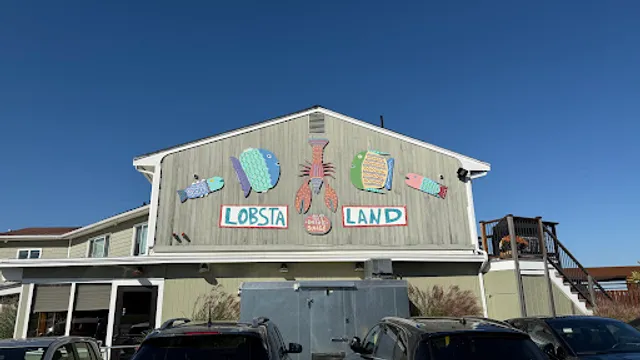
Lobsta Land Restaurant
4.5
(796)
$$
Click for details
Nearby local services of Tompson Street Reservation
Cape Ann Animal Aid
Cape Ann Animal Aid
4.7
(136)
Click for details