Grantham Mountain Trail things to do, attractions, restaurants, events info and trip planning

Basic Info
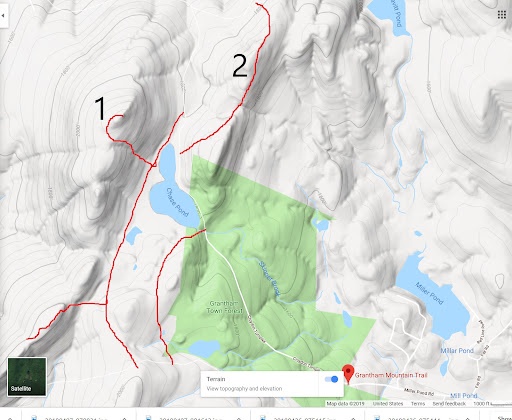
Grantham Mountain Trail
Grantham, NH 03753
4.0(8)
Open 24 hours
Save
spot
spot
Ratings & Description
Info
attractions: , restaurants: , local businesses:
Plan your stay

Pet-friendly Hotels in Grantham
Find a cozy hotel nearby and make it a full experience.

Affordable Hotels in Grantham
Find a cozy hotel nearby and make it a full experience.

The Coolest Hotels You Haven't Heard Of (Yet)
Find a cozy hotel nearby and make it a full experience.

Trending Stays Worth the Hype in Grantham
Find a cozy hotel nearby and make it a full experience.
Reviews
Live events

Hanover Murder Mystery: Solve the case!
Sun, Feb 1 • 12:00 AM
6025 N Main St, Hanover, 03755
View details

Chocolate Gift Boxes
Fri, Feb 13 • 11:00 AM
12 Centerra Parkway Lebanon, NH 03766
View details

Crafting with Corrie: Adult Clay Heart Project
Fri, Feb 13 • 6:30 PM
146 Elm Street Newport, NH 03773
View details