Beale Falls things to do, attractions, restaurants, events info and trip planning
Basic Info
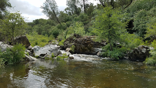
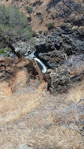
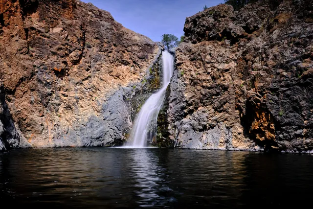
Beale Falls
Grass Valley, CA 95949, United States
4.5(166)
Open 24 hours
Save
spot
spot
Ratings & Description
Info
Outdoor
Adventure
Scenic
attractions: , restaurants: , local businesses:
Plan your stay

Pet-friendly Hotels in Grass Valley
Find a cozy hotel nearby and make it a full experience.

Affordable Hotels in Grass Valley
Find a cozy hotel nearby and make it a full experience.

The Coolest Hotels You Haven't Heard Of (Yet)
Find a cozy hotel nearby and make it a full experience.

Trending Stays Worth the Hype in Grass Valley
Find a cozy hotel nearby and make it a full experience.
Reviews
Live events

AMERICAN MILE & THE CRIPPLE CREEK BAND LIVE IN CONCERT
Sat, Feb 7 • 7:00 PM
645 5th Street Lincoln, CA 95648
View details

Valentines Dinner Date at the Annex Taproom
Sat, Feb 14 • 5:30 PM
103 Sacramento Street Auburn, CA 95603
View details

Singles Mixer and Speed Dating at Lincoln Speakeasy Taproom ages 40-55
Wed, Feb 11 • 6:00 PM
436 Lincoln Boulevard #Suite 202 Lincoln, CA 95648
View details