Catamount Trailhead things to do, attractions, restaurants, events info and trip planning
Basic Info
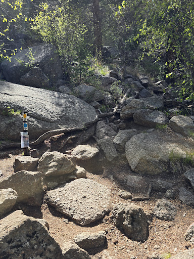
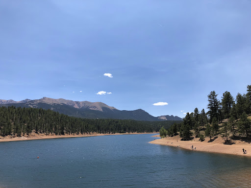
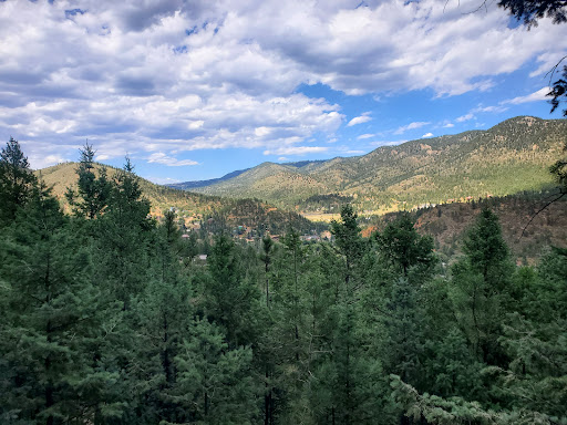
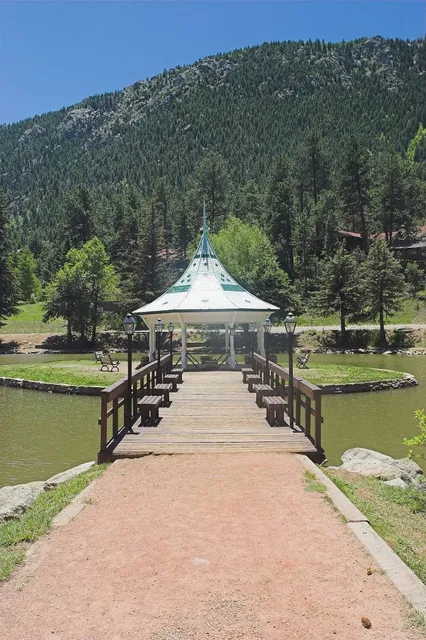
Catamount Trailhead
11195 Hondo Ave, Green Mountain Falls, CO 80819
4.7(167)
Open until 12:00 AM
Save
spot
spot
Ratings & Description
Info
Outdoor
Adventure
Scenic
Pet friendly
Off the beaten path
attractions: , restaurants: , local businesses:
Phone
(719) 685-5089
Open hoursSee all hours
WedOpen 24 hoursOpen
Plan your stay

Pet-friendly Hotels in Green Mountain Falls
Find a cozy hotel nearby and make it a full experience.

Affordable Hotels in Green Mountain Falls
Find a cozy hotel nearby and make it a full experience.

The Coolest Hotels You Haven't Heard Of (Yet)
Find a cozy hotel nearby and make it a full experience.

Trending Stays Worth the Hype in Green Mountain Falls
Find a cozy hotel nearby and make it a full experience.
Reviews
Live events

Colorado Springs Murder Mystery 2: Crime on Date Night!
Sat, Jan 31 • 11:00 PM
215 South Tejon Street, Colorado Springs, 80903
View details

Ghosts of Colorado Springs: Explore the Haunted Past!
Sat, Jan 31 • 11:00 PM
N Tejon St, Colorado Springs, 80903
View details

Dining with Diabetes 4-Week Class Series
Tue, Feb 17 • 10:30 AM
Colorado State University Extension, 17 N Spruce St, Colorado Springs, United States
View details