Red Run Falls things to do, attractions, restaurants, events info and trip planning
Basic Info
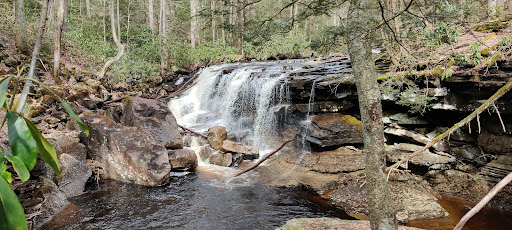
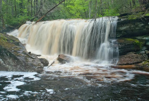
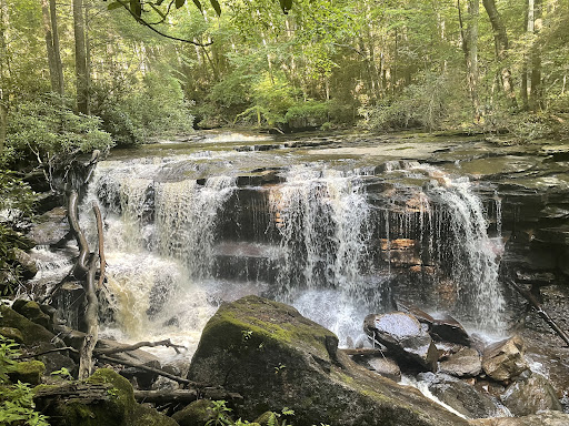
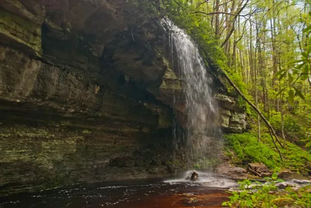
Red Run Falls
Forest Rd 244, Parsons, WV 26287
4.6(11)
Closed
Save
spot
spot
Ratings & Description
Info
Outdoor
Scenic
Adventure
Off the beaten path
Pet friendly
attractions: , restaurants: , local businesses:
Phone
(304) 478-3251
Website
fs.usda.gov
Open hoursSee all hours
Fri8 AM - 4:30 PMClosed
Plan your stay

Pet-friendly Hotels in Hambleton
Find a cozy hotel nearby and make it a full experience.

Affordable Hotels in Hambleton
Find a cozy hotel nearby and make it a full experience.

The Coolest Hotels You Haven't Heard Of (Yet)
Find a cozy hotel nearby and make it a full experience.

Trending Stays Worth the Hype in Hambleton
Find a cozy hotel nearby and make it a full experience.
Reviews
Live events

The Steel Wheels (Playing Two Nights!)
Sat, Feb 21 • 8:30 PM
96 East Ave, Thomas, WV, United States, West Virginia 26292
View details

A Tale Of Two
Thu, Feb 26 • 8:00 PM
The Purple Fiddle, 96 East Ave, Thomas, WV 26292-7730, United States
View details