Mt Tammany Red Dot Trail things to do, attractions, restaurants, events info and trip planning
Basic Info
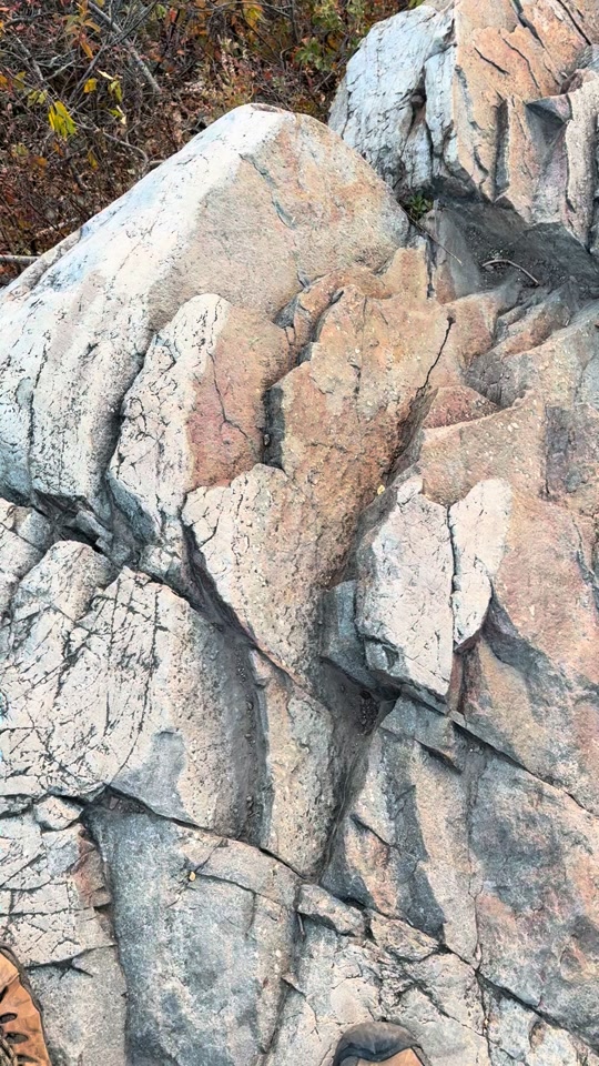
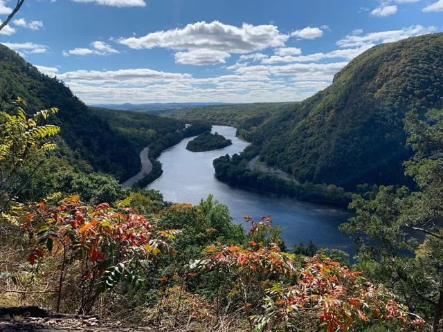
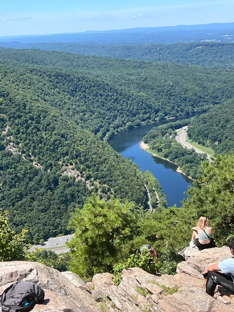
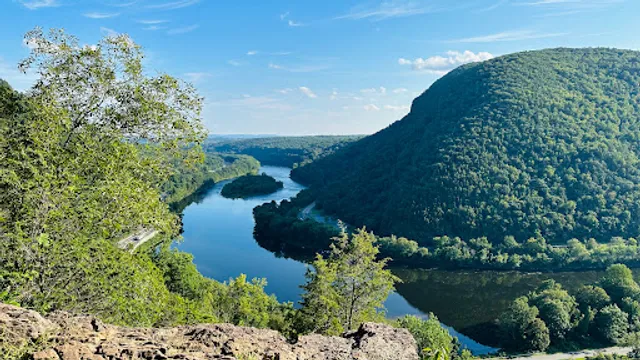
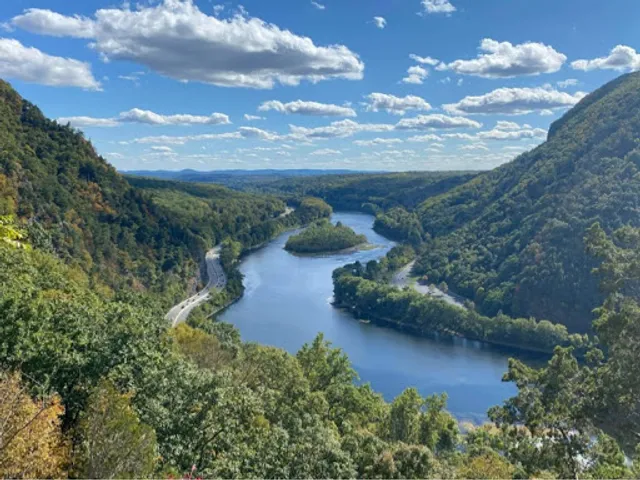
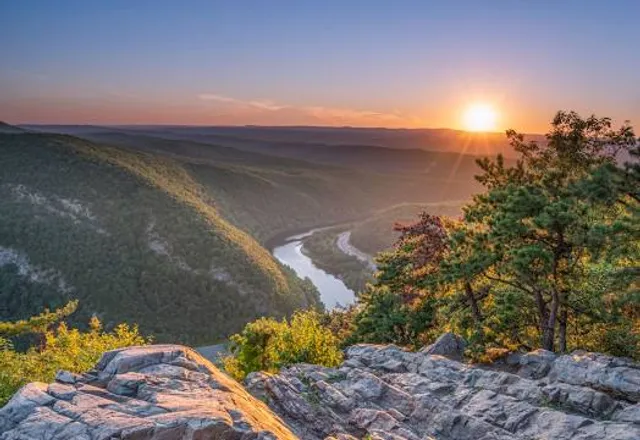
Mt Tammany Red Dot Trail
Kittatinnies Region, Hardwick Township, NJ 07825
4.8(1.1K)
Open until 12:00 AM
Save
spot
spot
Ratings & Description
Info
Outdoor
Adventure
Pet friendly
attractions: Dunnfield Creek Natural Area, Blue Blaze Trail (Blue Dot), restaurants: , local businesses: Mt Tammany Red Dot Trailhead Parking, Delaware Water Gap, Kittatinny Beach Boat Launch, Mount Tammany
Website
njhiking.com
Open hoursSee all hours
SatOpen 24 hoursOpen
Plan your stay

Pet-friendly Hotels in Hardwick Township
Find a cozy hotel nearby and make it a full experience.

Affordable Hotels in Hardwick Township
Find a cozy hotel nearby and make it a full experience.

The Coolest Hotels You Haven't Heard Of (Yet)
Find a cozy hotel nearby and make it a full experience.

Trending Stays Worth the Hype in Hardwick Township
Find a cozy hotel nearby and make it a full experience.
Reviews
Live events
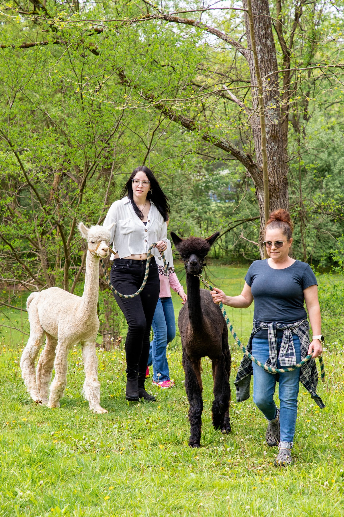
Amazing alpaca walking tour
Sun, Feb 22 • 10:30 AM
Blairstown, New Jersey, 07825
View details

SLOPES & SLIDES FEBRUARY ESCAPE
Fri, Feb 20 • 9:00 AM
193 Resort Drive Tannersville, PA 18372
View details

Exhumed Films presents RAMBOSPLOITATION MARATHON
Sat, Feb 21 • 2:00 PM
47 S. Broadway, 18091, 47 S Broadway, Wind Gap, PA 18091-1423, United States
View details
Nearby attractions of Mt Tammany Red Dot Trail
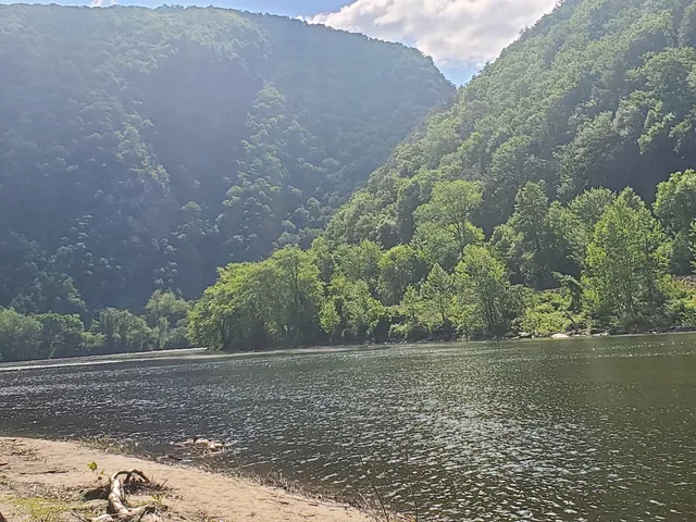
Dunnfield Creek Natural Area
Blue Blaze Trail (Blue Dot)
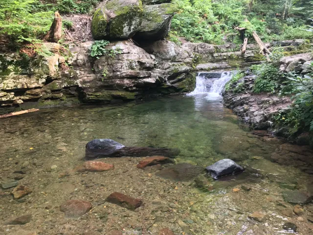
Dunnfield Creek Natural Area
4.8
(128)
Open until 12:00 AM
Click for details
Blue Blaze Trail (Blue Dot)
4.8
(31)
Open until 12:00 AM
Click for details
Nearby local services of Mt Tammany Red Dot Trail
Mt Tammany Red Dot Trailhead Parking
Delaware Water Gap
Kittatinny Beach Boat Launch
Mount Tammany
Mt Tammany Red Dot Trailhead Parking
4.5
(30)
Click for details
Delaware Water Gap
4.5
(95)
Click for details
Kittatinny Beach Boat Launch
4.6
(22)
Click for details
Mount Tammany
4.8
(211)
Click for details