High Shoals Falls things to do, attractions, restaurants, events info and trip planning
Basic Info
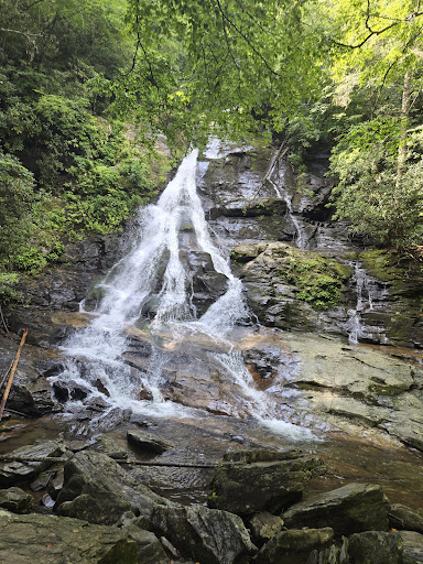
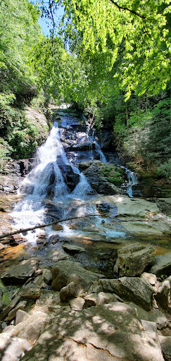
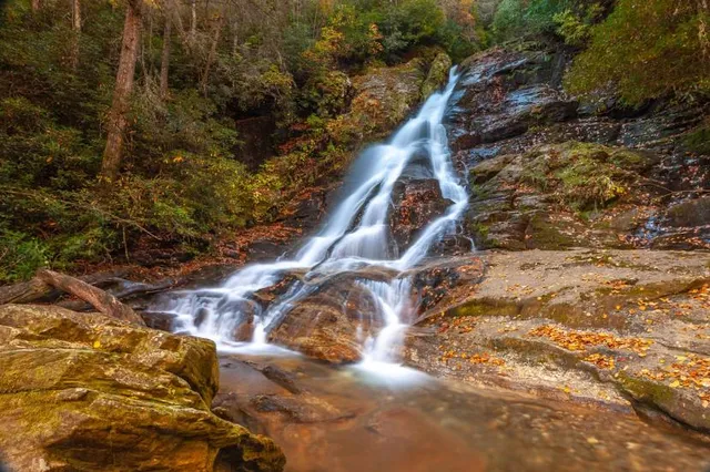
High Shoals Falls
1333 Indian Grave Gap Rd, Hiawassee, GA 30546
4.8(419)
Open 24 hours
Save
spot
spot
Ratings & Description
Info
High Shoals Falls is a waterfall in Burke County, North Carolina.
Outdoor
Adventure
Scenic
Family friendly
Off the beaten path
attractions: , restaurants: , local businesses:
Phone
(706) 745-6928
Website
exploregeorgia.org
Plan your stay

Pet-friendly Hotels in Hayesville
Find a cozy hotel nearby and make it a full experience.

Affordable Hotels in Hayesville
Find a cozy hotel nearby and make it a full experience.

The Coolest Hotels You Haven't Heard Of (Yet)
Find a cozy hotel nearby and make it a full experience.

Trending Stays Worth the Hype in Hayesville
Find a cozy hotel nearby and make it a full experience.
Reviews
Live events

Forge a knife with a Forged in Fire finalist
Fri, Feb 20 • 2:00 PM
Young Harris, Georgia, 30582
View details
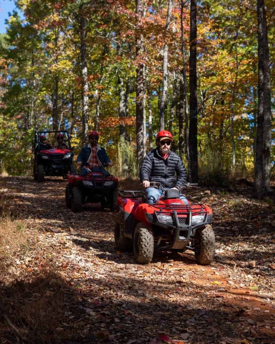
Atv guided mountain tour in Northeast Georgia
Sat, Feb 21 • 10:00 AM
Clarkesville, Georgia, 30523
View details

Willow Creek Farm Open House
Sun, Feb 22 • 1:00 PM
6825 U.S. 129 Cleveland, GA 30528
View details