Meridian-Baseline Historic State Park things to do, attractions, restaurants, events info and trip planning

Basic Info
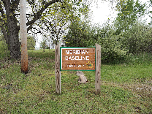
Meridian-Baseline Historic State Park
Pleasant Lake, MI 49272
4.5(92)
Closed
Save
spot
spot
Ratings & Description
Info
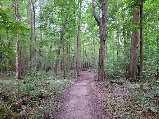
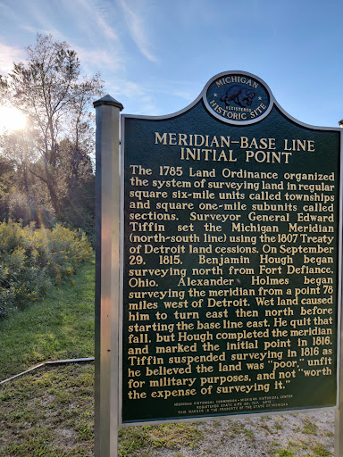
Meridian-Baseline State Park is a historic preservation area covering 108 acres in Ingham County and Jackson County, Michigan, containing the intersection of the Michigan meridian and the baseline used for the Michigan Survey.
Cultural
Outdoor
Family friendly
attractions: , restaurants: , local businesses:
Phone
(734) 475-8307
Website
dnr.state.mi.us
Open hoursSee all hours
Wed8 AM - 10 PMClosed
Plan your stay

Pet-friendly Hotels in Henrietta Township
Find a cozy hotel nearby and make it a full experience.

Affordable Hotels in Henrietta Township
Find a cozy hotel nearby and make it a full experience.

The Coolest Hotels You Haven't Heard Of (Yet)
Find a cozy hotel nearby and make it a full experience.

Trending Stays Worth the Hype in Henrietta Township
Find a cozy hotel nearby and make it a full experience.
Reviews
Live events

Try Curling in Jackson
Sun, Mar 1 • 4:30 PM
1300 West North Street Jackson, MI 49202
View details

Ballroom Dance Series: Salsa (3-Week Series)
Tue, Mar 3 • 7:05 PM
135 W. Cortland St. Jackson, MI 49201
View details

Rend Collective - World Vision Volunteers - Spring Arbor, MI
Thu, Feb 26 • 4:30 PM
120 East Main Street Spring Arbor, MI 49283
View details