Tiger Mountain Trailhead things to do, attractions, restaurants, events info and trip planning
Basic Info
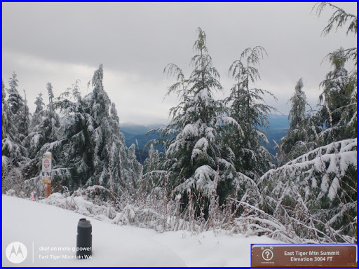
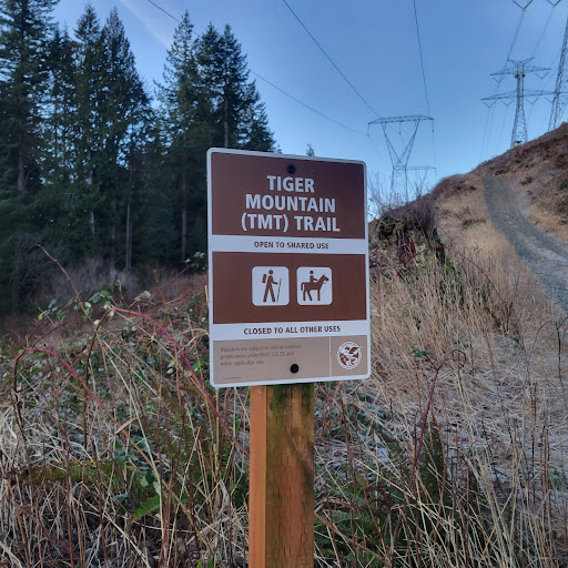
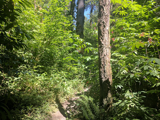
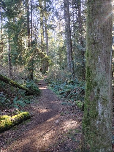
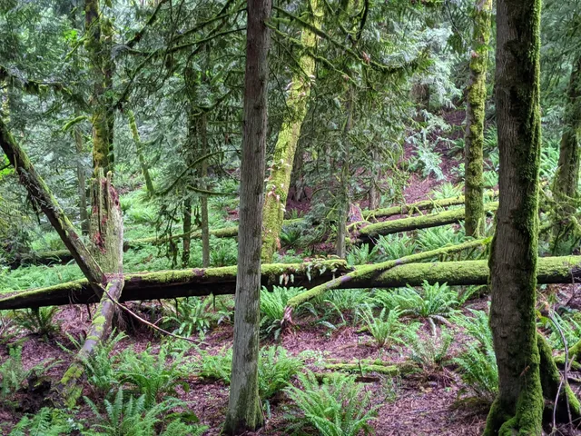
Tiger Mountain Trailhead
Tiger Mountain Trail, Issaquah, WA 98027
4.5(79)
Open 24 hours
Save
spot
spot
Ratings & Description
Info
Outdoor
Adventure
Scenic
Pet friendly
Off the beaten path
attractions: , restaurants: , local businesses: Vroom Vroom Toon Room
Phone
(425) 837-3300
Website
ci.issaquah.wa.us
Plan your stay

Pet-friendly Hotels in Hobart
Find a cozy hotel nearby and make it a full experience.

Affordable Hotels in Hobart
Find a cozy hotel nearby and make it a full experience.

The Coolest Hotels You Haven't Heard Of (Yet)
Find a cozy hotel nearby and make it a full experience.

Trending Stays Worth the Hype in Hobart
Find a cozy hotel nearby and make it a full experience.
Reviews
Live events

CPR/AED & First Aid Training | February 26 | Redmond, WA
Thu, Feb 26 • 4:00 PM
15670 Northeast 85th Street Redmond, WA 98052
View details

JJ’s Soul Food & Wine Pop-Up Event
Thu, Feb 26 • 6:00 PM
317 Northwest Gilman Boulevard #30B Issaquah, WA 98027
View details

Bsides Seattle 2026
Fri, Feb 27 • 8:00 AM
15010 Northeast 36th Street #Building 92 Redmond, WA 98052
View details
Nearby local services of Tiger Mountain Trailhead
Vroom Vroom Toon Room

Vroom Vroom Toon Room
5.0
(29)
Click for details