WOW 😳! More than I expected! The hike is about 2 miles. The majority of the trail is moderate with several areas that are difficult. It's a good trail for beginners who want to work their way up in training. The trail is maintained by the Squam Lake Association and is well marked for directions. Trees that fell and blocked the path have been cut up and moved. There are a lot of (I am Groot!) roots and 🪨 rocks to deal with. Once you get near to the top 🔝 of MT. Morgan, there is an area that has incredible views of the mountains and Squam Lake! With the fall colors, its 🫁 breathtaking! I felt overwhelmed with such a beautiful landscape! It made the hike worth the effort! I met a group of fellow hikers and we had a great time discussing hiking 🥾 and traveling. Everyone I met while hiking were friendly and helpful. One fellow had a drone and took video of the area. He said he would email 📨 me a copy of the video. Drones are allowed in most 🏞️ parks that are not state owned. Due to the size of the parking 🅿️ area, there are not many spaces to park. There are two parking areas on each side of the road, but, one is for Rattlesnake Mountain 🏔️, the other is for MT. Morgan. I found the Mt. Percival parking 🅿️ area where there is a trail that leads to 
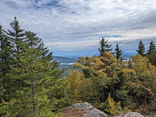
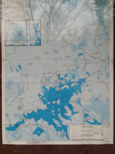
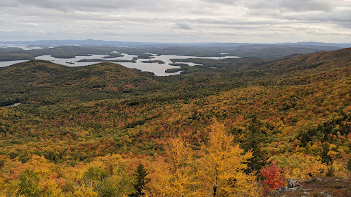
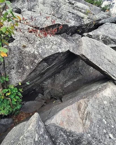
Mt. Morgan Trailhead. Bring a good pair of hiking 🥾 shoes, water, maybe snacks and maybe hiking poles. If you hike in the spring or summer, I would suggest bug 🐛 repellent. Forgot bringing a stroller. If you have health or weight issues or are disabled, I wouldn't recommend this trail. People did bring their pets and kids with them. A group of us took the cliff trail because it was a shortcut to the top. You have to climb 🪜 ladders, pass through a small cave and climb up a cliff to the viewing area I mentioned previously. I recommend this trail and seeing the view from the top 🔝 of...
Read moreExcellent hike and scenery on a 5.3 mile loop with around 1400 feet of elevation change. Steady climbing up Mt. Morgan (2.1 miles) that gets steeper towards the top. Ladders on the cliff section are an option (can take trail around instead for the less intrepid), and are not advised in wet or snowy/icy conditions or for those without decent climbing dexterity and strength. Superb views on the cliffs with Squam Lake in the foreground and Lake Winnipesaukee in the background. Better view in my estimation than at Rattlesnake Mtn (which is in the near foreground approximately 1000 feet below). Around .8 of a mile between Morgan and Percival Summits. Percival summit has excellent views as well, but follow rock slab down to even more open views. Two ways to go down at Percival summit: atop cliffs or through "caves." I did the cliffs down, which was wonderful vistas, but then went up the cave route until the squeeze was tight enough that I saved it for a warmer day when daylight was not waning. Down the Percival trail was steep for a considerable time, but then leveled out some -- unlike the Morgan trail where it was steady steepness the whole way and got even steeper near the top. A trail near the Percival trailhead led back to the Morgan trailhead and was about a half a mile. Best hike so far in NH, and I've been on some awesome...
Read moreThe trail itself is great. The view from the top of Mt. Morgan and Mt. Percival are amazing. Coming down the ladders can be difficult. The parking situation is a bit tricky - there are limited spots and fill up fast. I could stick my hatchback at the spot I parked but some like an SUV or bigger wouldn't have been possible. The worst part - porta potty at the parking was in an insanely bad condition and there are no restrooms...
Read more