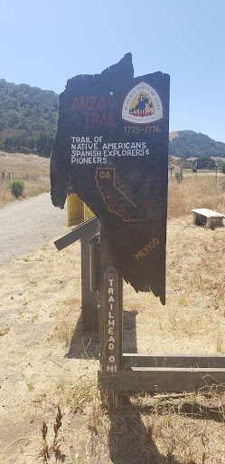
The Juan Bautista de Anza National Historic Trail is a 1,210-mile trail extending from Nogales on the U.S.-Mexico border in Arizona, through the California desert and coastal areas in Southern California and the Central Coast region to San Francisco.


Quintessential California hike. Beautiful surroundings with some great vistas. Highly recommended. After the hike we grabbed food in San Juan Batista and ate on the picnic benches on the Plaza Square - perfect.
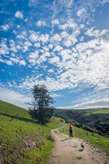
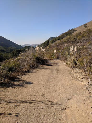
Some info that wasn't obvious to me: Parking for the hike is along the road, just before the trailhead. Google maps has a marker for the trailhead so just go there and you'll see signs for parking. The entire trail is 4 miles with a steady 900' climb for 2.5 miles and then a 600' descent for 1.5 miles. Obviously, you can simply turn around whenever you like since it is just out-and-back. The trail is "Old Stage Rd" and is pretty much like a fire road for most of the way but it is rutted in spots so watch your step. It was warm and windy for our hike so I'll bring extra water next time. Most of the trail is exposed but there is some shade. The western end of the trail is marked on Google maps with "San Juan de Anza historic trail terminus." There was a car parked there so I assume some folks park and walk from the west...
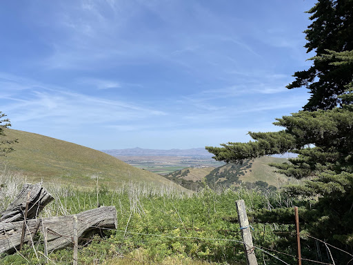
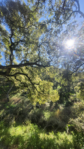
Read moreThis hiking trail has spectacular views. It's a well worn level dirt path wide enough for several people to walk abreast. The trail runs a little over 5 miles with the first 2.5 miles mostly uphill. It is classified as a moderate hike. The trail rises to about 900 feet. It threads through ranch land covered in oaks. It can get very hot in the summer but the trail is shaded sporadically with places to rest. There are no services on the trail but there is a Porta potty at the trail head. There is no water available so carry your own with you. Dogs are allowed on leash. There are no doggypoo bags, please bring your own and clean up after your pet. Horse back riding is allowed on the trail so be prepared. This trail is part of the National Parks system but it is not staffed and there is no charge. Highly recommend this trail. If you want to be completely alone on the trail keep going past the second bench which is at the 2.5 mile marker. The trail becomes more narrow and less well traveled. If this review was helpful,...
Read moreA good 5 mile hike to the top and back. A very good up hill work out with spectacular vistas. There are stone trail markers every mile. The first mile is the steepest. Around mile 2 it gets prettier to me, trees and shrubbery. I saw some wild boar there landscaping one day. At the 2 1/2 mile point is the second bench and then it goes downhill from there.Warning-if you keep going south downhill you will have to hike back over the top! TAXI...There is the most wonderful dog on earth that comes every morning with his very fit humans He drops and grabs his leash until it's right and flings it around in 5 or six circles, and repeats in the opposite direction, then leaps and leaps in great JOY! What a great present for me! JOY in the morning, Thank you. Just found out his...
Read more


