Beautiful trail with beautiful views. Used this route to go to Tahquitz Peak. It is a quiet, peaceful trail. It's also easy to follow. Went on a Saturday in late September. I encountered 12 people during the 6 hours I spent on the trail. It was slightly warm, but a pretty regular breeze kept it fairly nice. Some things you'll want to be aware of before going. From the beginning of the trailhead to the peak is supposed to be 3.3 miles. However, the old forest road leading to the trailhead is closed. That adds another mile onto the hike. It also means the elevation gain will be a little over 3,000' instead of 2,400.' You're supposed to have a permit to enter San Jacinto, but the sign informing you that's the case is 1.3 miles and 1,000' elevation gain, into the hike since the road is closed. I brought poles with me and was glad I did. About half the people i saw didn't have them, though, so it can be done without them. The trail culminates in a series of switchbacks which were slippery in places due to the sand and gravel covering the trail (sometimes dirt, sometimes granite). I would also recommend hiking boots instead of running shoes. The extra traction would be a big help during the last .7 miles on the switchbacks. The distance and elevation gain make for a great work out for the day. The views just...
Read moreThis is the hardest hike I’ve done so far. Views are magnificent though! Important information, the lady from the Idyllwild Ranger Station where I went to obtain a free wilderness permit, gave me the map, and showed me how to get to the 
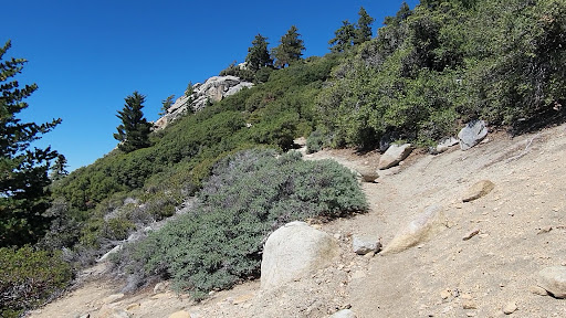
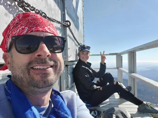
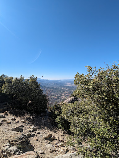
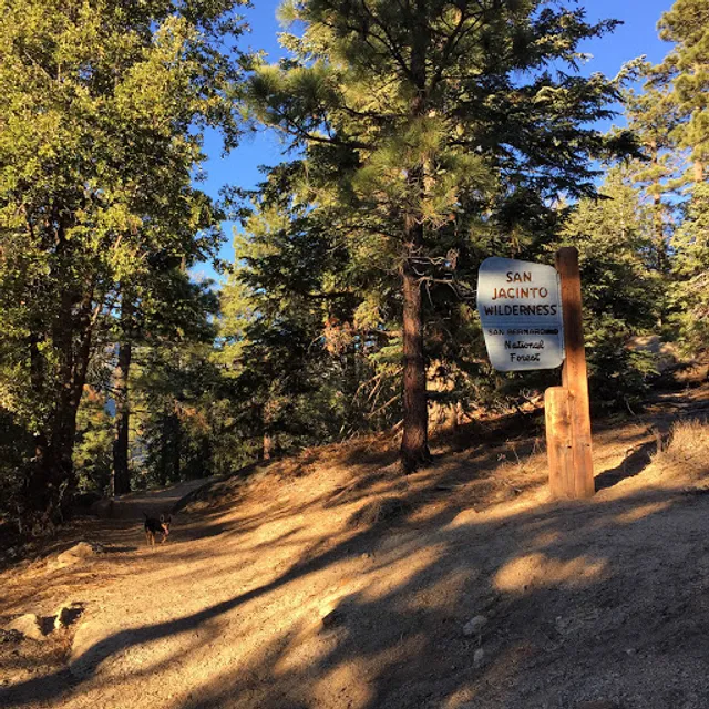
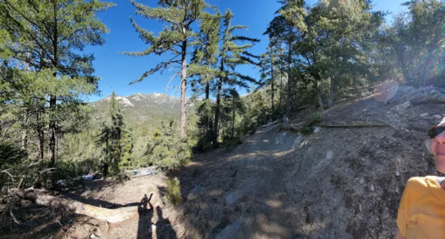
South Ridge Trailhead parking, and said the last mile the road was unpaved but ok for my Toyota Corolla. Dear Lord, it was not ok! I barely made it to South Ridge Yellow Post, and I left my car there. If you don’t have SUV or Truck do not, I repeat, do not drive this road! I was praying on the way back for my car to make it, and not to get stuck and be hanging in the middle of the road. With this being said, it’s either 7.2 miles hike or 8.2 miles hike, depending where you park. The trail itself is beautiful, gorgeous views, mostly of Lake Hemet. Nature changes along the trail. I saw two deers by the Yellow Post where I parked, and giant butterflies at the top by the Fire Station. I walked through the valley of flowers which was very nice. It’s a hard trail though. I have never stopped so many times during the hike before. One liter of water is NOT enough. Also, there’s not so much shade, so majority of the hike you’ll be walking an open air which can be challenging during sunny...
Read moreThis is one of my Favorite trails in the San Bernardino National Forest. Dog friendly. Pretty easy going trail until you hit the switchbacks. Great views from both sides throughout the hike. The lookout tower is a great spot for lunch. I recommend going a bit further and hiking from the fire lookout to Chinquapin Flats area for overnight camping. Overnight camping permit is self issue for...
Read more