Piney Creek Ravine Nature Preserve things to do, attractions, restaurants, events info and trip planning
Basic Info
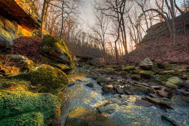
Piney Creek Ravine Nature Preserve
Piney Creek Rd, Ava, IL 62907
4.7(80)
Open 24 hours
Save
spot
spot
Ratings & Description
Info
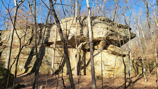
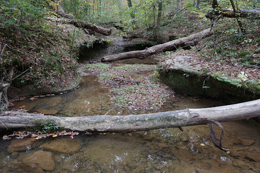
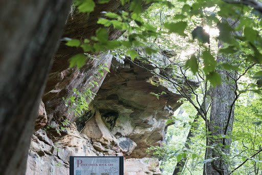
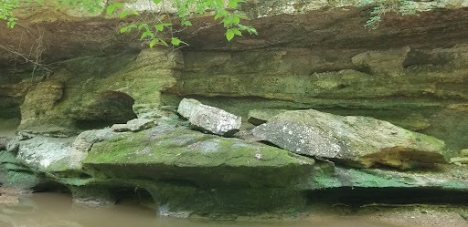
Piney Creek Ravine State Natural Area is an Illinois state park on 198 acres in Jackson and Randolph Counties, Illinois, United States. One cliff face in the ravine contains several Native American petroglyphs, along with modern graffiti, which was added to the National Register of Historic Places in 2001.
Outdoor
Adventure
Scenic
Family friendly
Pet friendly
Off the beaten path
attractions: , restaurants: , local businesses:
Phone
(618) 826-2706
Website
dnr.illinois.gov
Plan your stay

Pet-friendly Hotels in Illinois
Find a cozy hotel nearby and make it a full experience.

Affordable Hotels in Illinois
Find a cozy hotel nearby and make it a full experience.

The Coolest Hotels You Haven't Heard Of (Yet)
Find a cozy hotel nearby and make it a full experience.

Trending Stays Worth the Hype in Illinois
Find a cozy hotel nearby and make it a full experience.
Reviews
Live events

Church Security & CCW Course
Sat, Feb 21 • 7:30 AM
609 N Kingshighway St, Perryville, MO 63775-1255, United States
View details

Commander League - Week #5
Sat, Feb 21 • 7:00 PM
The Gaming Center, 1272 Plaza Dr, Perryville, MO 63775, United States
View details

3rd Annual Chicken & Beer Dance
Sat, Feb 21 • 7:00 PM
VFW Post 2698 - Sparta IL, VFW Post 2698 - Sparta Il, 1911 N Market St, Sparta, IL 62286, United States
View details