Margaret's Way Trailhead things to do, attractions, restaurants, events info and trip planning
Basic Info
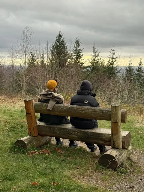
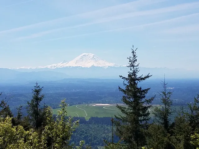
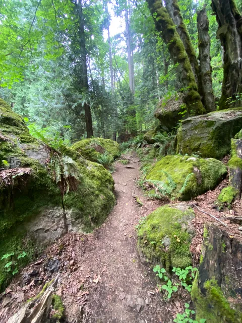
Margaret's Way Trailhead
190th Ave SE, Issaquah, WA 98027
4.5(220)
Open until 10:00 PM
Save
spot
spot
Ratings & Description
Info
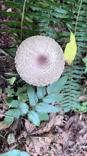
Outdoor
Adventure
Scenic
Pet friendly
Off the beaten path
attractions: Jim Whittaker Wilderness Peak Trailhead, restaurants: , local businesses: Fletcher Farm Issaquah
Phone
(206) 477-4527
Website
kingcounty.gov
Open hoursSee all hours
Wed6 AM - 10 PMOpen
Plan your stay

Pet-friendly Hotels in Issaquah
Find a cozy hotel nearby and make it a full experience.

Affordable Hotels in Issaquah
Find a cozy hotel nearby and make it a full experience.

The Coolest Hotels You Haven't Heard Of (Yet)
Find a cozy hotel nearby and make it a full experience.

Trending Stays Worth the Hype in Issaquah
Find a cozy hotel nearby and make it a full experience.
Reviews
Live events

Bubble Planet: An Immersive Experience in Bellevue
Wed, Feb 18 • 10:45 AM
103 110th Avenue Northeast, Bellevue, 98004
View details

50 Years on Mars -- A Viking Legacy
Wed, Feb 18 • 6:30 PM
9404 East Marginal Way S Seattle, WA 98108
View details

Galentine’s Glow Up: Botox & Wellness
Sat, Feb 21 • 11:00 AM
14040 Northeast 181st Street #1000 Woodinville, WA 98072
View details
Nearby attractions of Margaret's Way Trailhead
Jim Whittaker Wilderness Peak Trailhead
Jim Whittaker Wilderness Peak Trailhead
4.5
(121)
Open 24 hours
Click for details
Nearby local services of Margaret's Way Trailhead
Fletcher Farm Issaquah
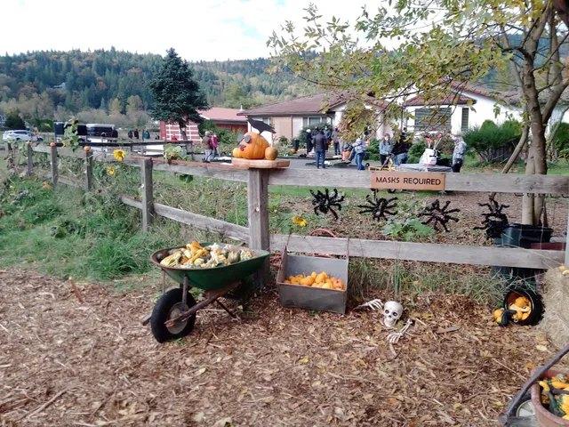
Fletcher Farm Issaquah
4.5
(38)
Click for details