Tiger Mountain State Forest things to do, attractions, restaurants, events info and trip planning
Basic Info
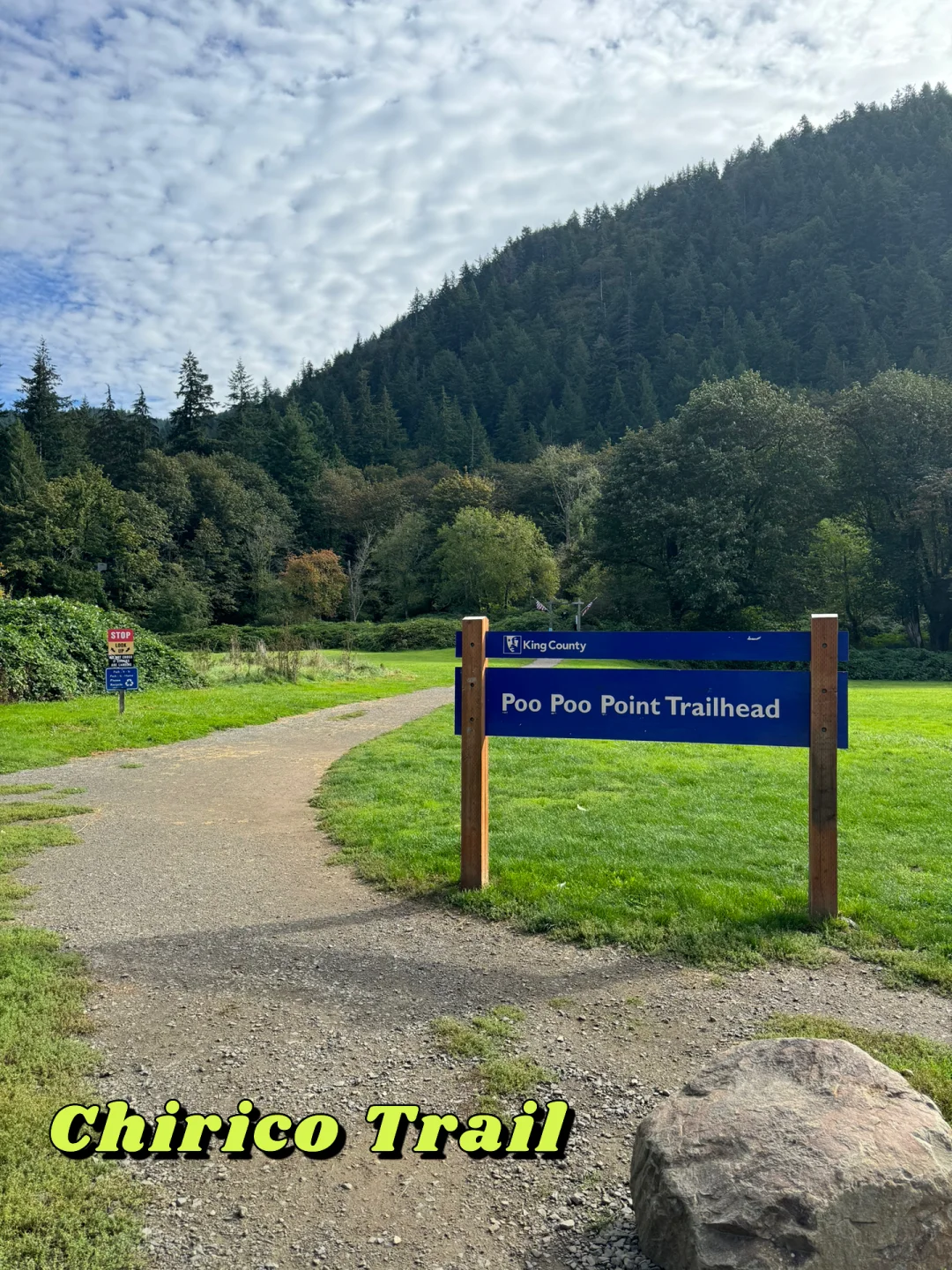
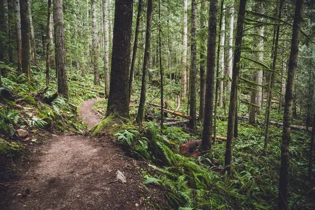
Tiger Mountain State Forest
Issaquah, WA 98027
4.7(857)
Open 24 hours
Save
spot
spot
Ratings & Description
Info
Outdoor
Adventure
Pet friendly
attractions: , restaurants: , local businesses:
Phone
(360) 902-1375
Website
dnr.wa.gov
Plan your stay

Pet-friendly Hotels in Issaquah
Find a cozy hotel nearby and make it a full experience.

Affordable Hotels in Issaquah
Find a cozy hotel nearby and make it a full experience.

The Coolest Hotels You Haven't Heard Of (Yet)
Find a cozy hotel nearby and make it a full experience.

Trending Stays Worth the Hype in Issaquah
Find a cozy hotel nearby and make it a full experience.
Reviews
Live events
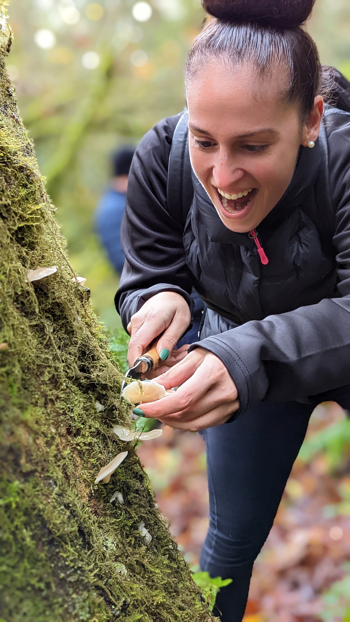
Intro to Mushroom Foraging: Seattle
Sat, Feb 7 • 1:00 PM
Kirkland, Washington, 98033
View details

Bellevue Camp Fair at Bellevue College
Sat, Feb 7 • 12:00 PM
3000 Landerholm Circle Southeast Bellevue, WA 98007
View details

Cars and Corgis!
Sat, Feb 7 • 1:00 PM
221 Washington Avenue North Kent, WA 98032
View details