Eales Preserve at Moosic Mountain things to do, attractions, restaurants, events info and trip planning
Basic Info
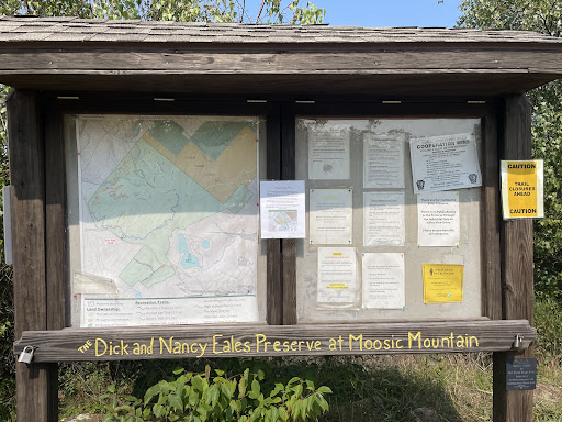
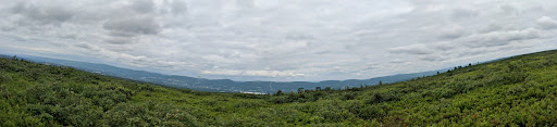
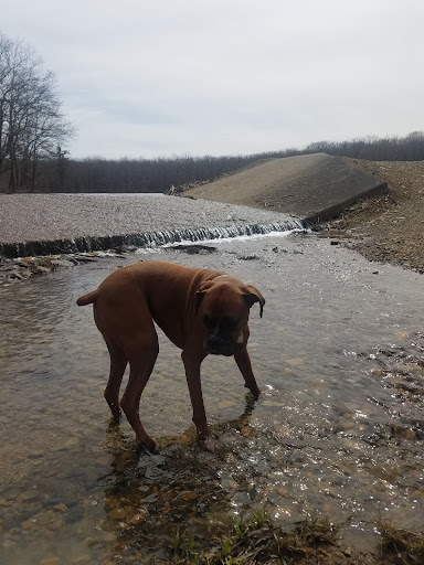
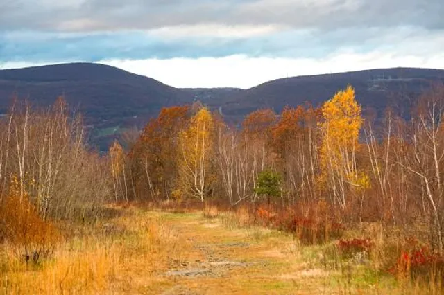
Eales Preserve at Moosic Mountain
222 In The Deed, Jessup, PA 18434
4.7(167)
Closed
Save
spot
spot
Ratings & Description
Info
Outdoor
Adventure
Scenic
Pet friendly
Off the beaten path
attractions: , restaurants: , local businesses:
Phone
(717) 232-6001
Website
nature.org
Open hoursSee all hours
Wed7 AM - 7 PMClosed
Plan your stay

Pet-friendly Hotels in Jessup
Find a cozy hotel nearby and make it a full experience.

Affordable Hotels in Jessup
Find a cozy hotel nearby and make it a full experience.

The Coolest Hotels You Haven't Heard Of (Yet)
Find a cozy hotel nearby and make it a full experience.

Trending Stays Worth the Hype in Jessup
Find a cozy hotel nearby and make it a full experience.
Reviews
Live events

Galentines Cocktails & Shopping at The Colonnade
Thu, Feb 12 • 5:30 PM
401 Jefferson Avenue Scranton, PA 18510
View details

Emo Night at The Ritz Theater
Fri, Feb 13 • 7:00 PM
222 Wyoming Avenue Scranton, PA 18503
View details

Dueling Pianos and Dinner at the Green Ridge Club!
Fri, Feb 13 • 6:00 PM
1645 Wyoming Avenue Scranton, PA 18509
View details