Dawn Falls Trailhead things to do, attractions, restaurants, events info and trip planning
Basic Info
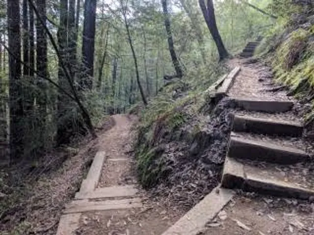
Dawn Falls Trailhead
Dawn Falls Trail, Larkspur, CA 94939
4.7(112)
Open until 12:00 AM
Save
spot
spot
Ratings & Description
Info
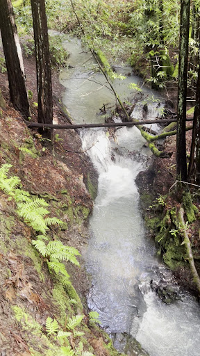
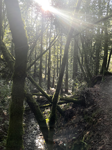
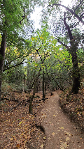
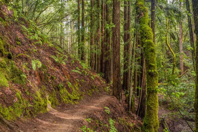
Outdoor
Adventure
Scenic
Pet friendly
Family friendly
Off the beaten path
attractions: , restaurants: , local businesses: King Mountain Loop Trail
Website
parks.marincounty.org
Open hoursSee all hours
SunOpen 24 hoursOpen
Plan your stay

Pet-friendly Hotels in Larkspur
Find a cozy hotel nearby and make it a full experience.

Affordable Hotels in Larkspur
Find a cozy hotel nearby and make it a full experience.

The Coolest Hotels You Haven't Heard Of (Yet)
Find a cozy hotel nearby and make it a full experience.

Trending Stays Worth the Hype in Larkspur
Find a cozy hotel nearby and make it a full experience.
Reviews
Live events

AURA: An Immersive Odyssey of Breathtaking Proportions
Sun, Feb 8 • 8:00 PM
1100 California St, San Francisco, CA, 94108
View details

AfterDark by Pink Puma
Sun, Feb 8 • 6:00 PM
636 Jackson St, San Francisco, CA, 94133
View details

Neighborhood Organizing Training 1: Starting a Neighborhood Group
Tue, Feb 10 • 6:00 PM
2090 Kittredge Street, Berkeley, CA 94704
View details
Nearby local services of Dawn Falls Trailhead
King Mountain Loop Trail
King Mountain Loop Trail
4.6
(4)
Click for details