South Mount Elbert Trailhead, Colorado things to do, attractions, restaurants, events info and trip planning

Basic Info
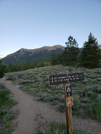
South Mount Elbert Trailhead, Colorado
South Mount Elbert Trail, Twin Lakes, CO 81251
4.9(72)
Open until 12:00 AM
Save
spot
spot
Ratings & Description
Info
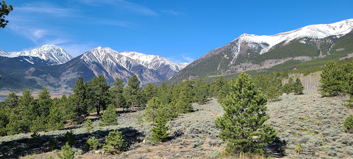
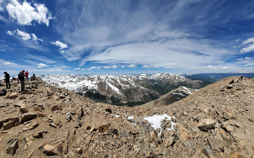
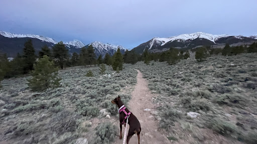
Outdoor
Adventure
Scenic
Pet friendly
attractions: , restaurants: , local businesses:
Website
fs.usda.gov
Open hoursSee all hours
MonOpen 24 hoursOpen
Plan your stay

Pet-friendly Hotels in Leadville
Find a cozy hotel nearby and make it a full experience.

Affordable Hotels in Leadville
Find a cozy hotel nearby and make it a full experience.

The Coolest Hotels You Haven't Heard Of (Yet)
Find a cozy hotel nearby and make it a full experience.

Trending Stays Worth the Hype in Leadville
Find a cozy hotel nearby and make it a full experience.
Reviews
Live events

Soiled Doves: Leadville’s Red Light District Tour
Wed, Jan 28 • 3:00 PM
Leadville, Colorado, 80461
View details