Highpoint Scenic Vista & Recreation Area things to do, attractions, restaurants, events info and trip planning
Basic Info
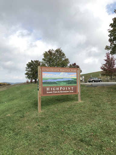
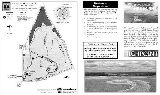
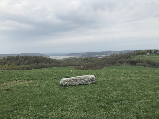
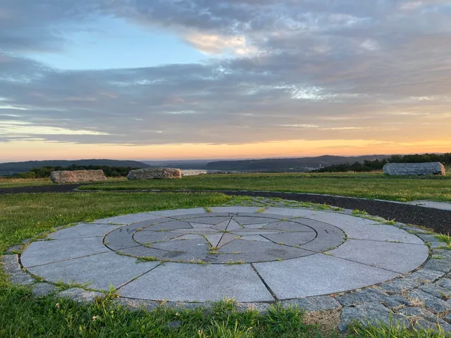
Highpoint Scenic Vista & Recreation Area
1199 Hilt Rd, Wrightsville, PA 17368
4.8(178)
Closed
Save
spot
spot
Ratings & Description
Info
Outdoor
Adventure
Scenic
Family friendly
Pet friendly
attractions: , restaurants: DiFrancesco Meadery, local businesses:
Phone
(717) 840-7440
Website
ychsd.org
Open hoursSee all hours
Sat7 AM - 6:30 PMClosed
Plan your stay

Pet-friendly Hotels in Lower Windsor Township
Find a cozy hotel nearby and make it a full experience.

Affordable Hotels in Lower Windsor Township
Find a cozy hotel nearby and make it a full experience.

The Coolest Hotels You Haven't Heard Of (Yet)
Find a cozy hotel nearby and make it a full experience.

Trending Stays Worth the Hype in Lower Windsor Township
Find a cozy hotel nearby and make it a full experience.
Reviews
Live events
Taste international cuisines near Amish County
Sat, Feb 14 • 10:00 AM
Lancaster, Pennsylvania, 17603
View details

Black History Month Roundtable - State of Health Equity in PA
Fri, Feb 20 • 6:30 PM
100 South Queen Street Lancaster, PA 17603
View details

Valentines Day Chocolate Strawberry Dipping 🍓💗
Thu, Feb 12 • 10:00 AM
3100 N George St, York, PA, United States, Pennsylvania 17406
View details
Nearby restaurants of Highpoint Scenic Vista & Recreation Area
DiFrancesco Meadery
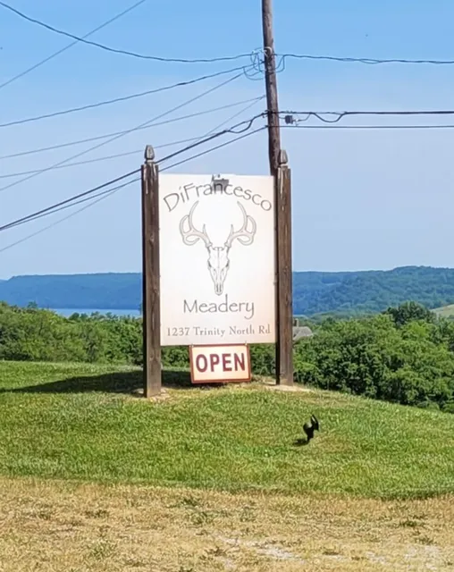
DiFrancesco Meadery
5.0
(11)
Closed
Click for details