Meadow Spring Trail things to do, attractions, restaurants, events info and trip planning

Basic Info
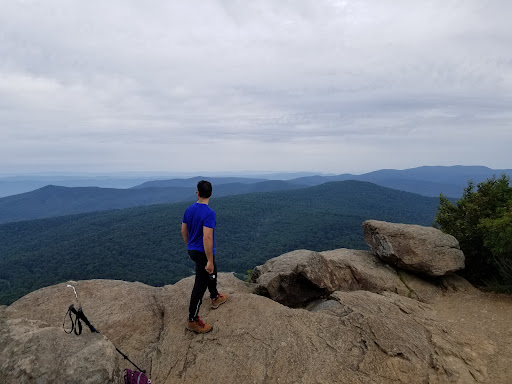
Meadow Spring Trail
Luray, VA 22835
4.8(37)
Open until 12:00 AM
Save
spot
spot
Ratings & Description
Info
Outdoor
Adventure
Scenic
Family friendly
Pet friendly
Off the beaten path
attractions: Hazel Mountain Overlook, restaurants: , local businesses:
Phone
(540) 999-3500
Website
nps.gov
Open hoursSee all hours
FriOpen 24 hoursOpen
Plan your stay

Pet-friendly Hotels in Luray
Find a cozy hotel nearby and make it a full experience.

Affordable Hotels in Luray
Find a cozy hotel nearby and make it a full experience.

The Coolest Hotels You Haven't Heard Of (Yet)
Find a cozy hotel nearby and make it a full experience.

Trending Stays Worth the Hype in Luray
Find a cozy hotel nearby and make it a full experience.
Reviews
Live events
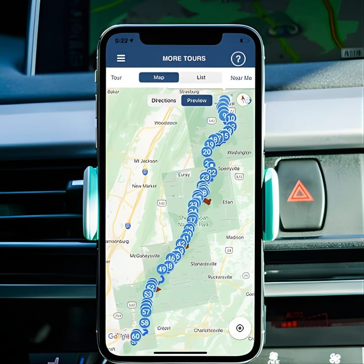
Shenandoah National Park Self-Driving Audio Tour
Fri, Feb 13 • 9:00 AM
Virginia, 22903
View details

Valentines Pairing & Dance
Fri, Feb 13 • 3:00 PM
Prince Michel Vineyard & Winery, 154 Winery Ln,Leon, Virginia, United States
View details

Great Backyard Bird Count : Bird Walk
Sat, Feb 14 • 9:00 AM
1191 Lupton Rd Woodstock, VA 22664
View details
Nearby attractions of Meadow Spring Trail
Hazel Mountain Overlook

Hazel Mountain Overlook
4.9
(298)
Open until 12:00 AM
Click for details