Blunts Point Trail things to do, attractions, restaurants, events info and trip planning
Basic Info
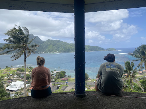
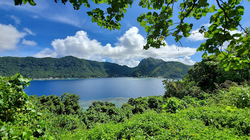
Blunts Point Trail
P88F+665, Utulei, Eastern District, American Samoa
4.5(11)
Open until 12:00 AM
Save
spot
spot
Ratings & Description
Info
attractions: Blunts Point Battery, restaurants: Samus Ice Cream, DDW Restaurant, PJK Fish Market, Goat Island Cafe, Fast Food EOB, Faga'alu Restaurant, local businesses: Island Flowers by Liana
Open hoursSee all hours
SatOpen 24 hoursOpen
Plan your stay

Pet-friendly Hotels in Maʻopūtasi County
Find a cozy hotel nearby and make it a full experience.

Affordable Hotels in Maʻopūtasi County
Find a cozy hotel nearby and make it a full experience.

The Coolest Hotels You Haven't Heard Of (Yet)
Find a cozy hotel nearby and make it a full experience.

Trending Stays Worth the Hype in Maʻopūtasi County
Find a cozy hotel nearby and make it a full experience.
Reviews
Nearby attractions of Blunts Point Trail
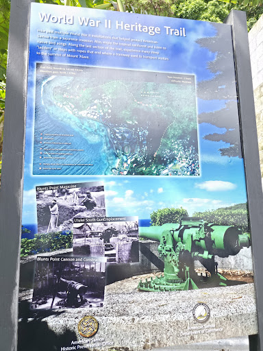
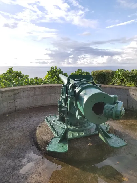
Blunts Point Battery
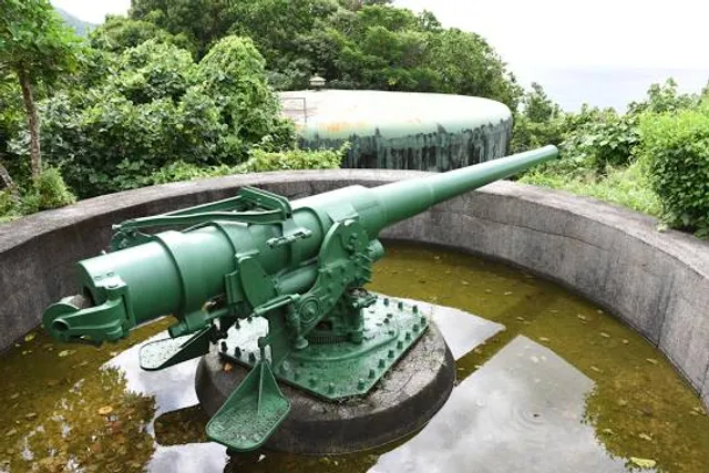
Blunts Point Battery
4.5
(17)
Open 24 hours
Click for details
Nearby restaurants of Blunts Point Trail
Samus Ice Cream
DDW Restaurant
PJK Fish Market
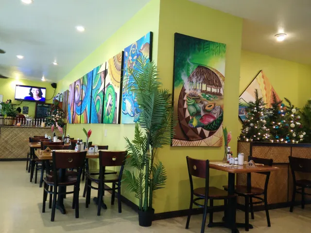
Goat Island Cafe
Fast Food EOB
Faga'alu Restaurant

Samus Ice Cream
4.5
(30)
Closed
Click for details
DDW Restaurant
4.1
(53)
Open until 12:00 AM
Click for details
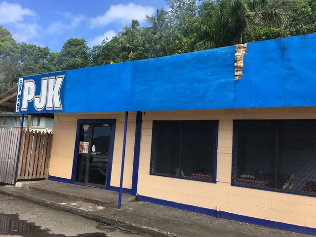
PJK Fish Market
4.5
(8)
Click for details

Goat Island Cafe
4.6
(21)
Closed
Click for details
Nearby local services of Blunts Point Trail
Island Flowers by Liana

Island Flowers by Liana
4.1
(8)
Click for details