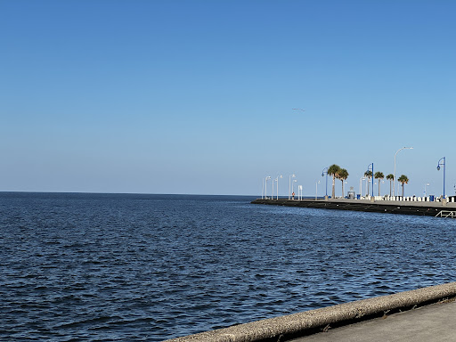
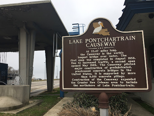
Lake Ponchatrain is a brackish estuary located in southeastern Louisiana in the United States. It covers an area of 630 square miles with an average depth of 12 to 14 feet. In descending order of area, the lake is located in parts of six Louisiana parishes: St. Tammany, Orleans, Jefferson, St. John the Baptist, St. Charles, and Tangipahoa. The lake is crossed by the Lake Pontchartrain Causeway- see live updates for tracking across the causeway at (https://www.thecauseway.us) . The causeway bridge is considered the longest continuous bridge over water in the world located directedly between Metairie, Louisiana and Mandeville, Louisiana . The lake is connected to the Gulf of Mexico and receives polluted water mostly due to storm run off among many other factors. On the Northshore side of the Lake and it’s Side of the bridge sits a mature Cypress Wetlands and or Cypress Forest located between Sunset Point and Mandeville’s Lakefront. It’s part of an important ecosystem that prevents flooding , erosion and traps bacteria and fungus to prevent its spreading which are only a few benefits it provides to the environment.. There are plans , while controversy, to install a berm with a bike path running to and from Mandeville’s Sunset Point and Lake Front over Lake Ponchatrain to protect the erosion of the wetlands. Lake Ponchatrain is also well known for several plane crashes killing those on Board. It’s bountiful when it comes to history.
Those are my collected facts. My opinion on the Lake Ponchatrain goes as follows:
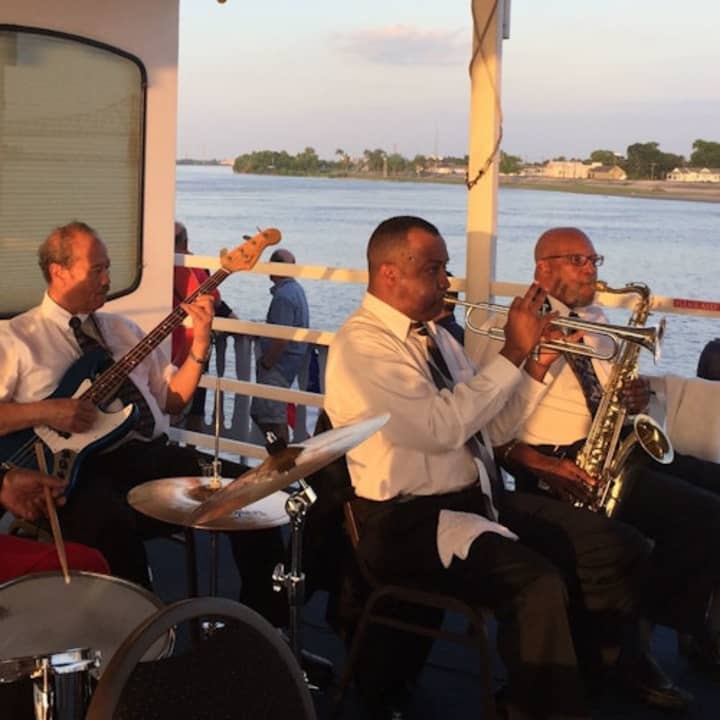
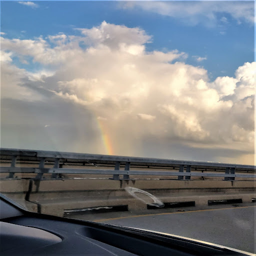
New Orleans South shore side of the lake that meets in Metairie is refreshing, productive feeling, energetic, a must see during daylight. 5 stars for sure. The lake from Mandeville called the “Northshore” captivates the area in a different way. At night on the Lake’s Northshore- edge lines of beautiful sand areas and wetlands meet the skylines and it’s mind taking, the stars so clearly etched out are crisp, the causeway commuters make beautiful ocean sounds unaware as they travel to and from each side of the dreadful gauntlet stretched 23 miles, and watching airplanes go into and out of the city pondering if they are landing home for southern comfort of chilly mornings and humid nights or landing for a night of questionable amounts of alcohol and poor decisions. The lake from either side is magical and each side holds whatever your in search of- it’s the best Lake...
Read more