Quartz Trail is one of the high point and highly visited peak of the Sierra Estrella Range just south of Phoenix which has beautiful white/pink Quartz deposits on the top. The road leading to the trailhead was very sandy and I highly recommend AWD to get through it, we travelled thru CRV 2WD which helped in ground clearance, but it would be better if it is 4WD. Google did take us to the trail-head correctly, we travelled thru I-10, AZ-347, 238, Landfill and 91/99 ave…finally to signs reading "Trail", which leads to 
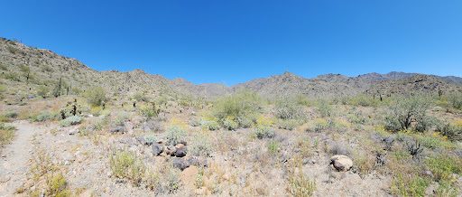
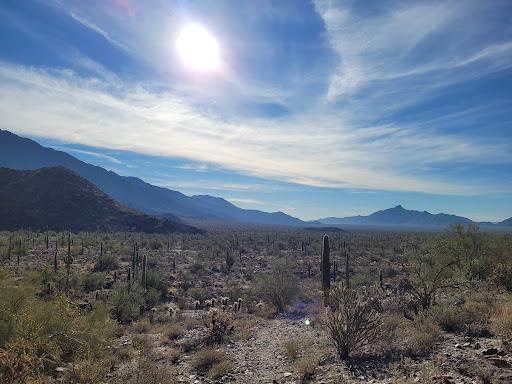
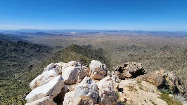
Quartz Peak Trailhead. The rest room in the trail head is not maintained, off course it is only visible structure in the near vicinity There were countless bullet casings because people who like to shoot guns apparently don't like to clean up From the trailhead, it is clear marked trail going up North steadily increasing in elevation all thru. The trail follows the spine of the mountain range one after the other to finally reach the top. The last half mile is strenuous and requires little scrambling to the top which is 3.1 miles, 2400 EG and took ~ 3 hours out & back. The views at the are stunningly great with those white/ping quartz stones never felt to come back. You can see Phoenix at a distance and South mountain preserve. Felt accomplished for...
Read moreThe Quartz Peak Trail is a 5.2 mile out and back trail located within the 14,000 acre Sierra Estrella Wilderness southwest of Phoenix, AZ. I hiked this trail in late April and it was very warm. The drive to the trail head was challenging in a two wheel pick up. I made the mistake of pulling off the hard packed middle road surface and into deep silt on the shoulder where I quickly buried the rear wheels. It was a pain to remove myself from the shoulder, next time I’ll bring a shovel. It took me a couple of hours to reach the summit but I was not in a hurry and took a lot of photos. I never saw another hiker for the entire day. The terrain was typical for a Sonoran Desert mountain hike, very rocky and the trail was sometimes undefined. Flora was dominated by Creosote, Cholla, Agave, Saguaro, Brittlebush, Palo Verde, and Ocotillo. Fauna was mostly lizards and Turkey Vultures. The trail follows the ridge/spine of the southeastern side of the mountain with a continuous uphill slope for three miles with about 2500 ft. elevation gain. There are great views at the summit. To the west is the rugged Estrella Mountain range with the desert plains and farmland to the north. To the east is metropolitan Phoenix and the valley of the...
Read moreI'm going to give this five stars because the hike has everything: pristine Sonoran Desert, elevation gain, unbelievable views. That said, my preference is for a runnable trail that requires no scrambling. There is a little bit of scrambling in this hike, and much of the top half is too rugged to have any kind of consistent running pace.
Be aware, my barometric altimeter showed nearly 2500 feet of accumulated elevation gain...this hill is relentless. I powered up as a training exercise and realized just how weak my hips and glutes are.
So - If you like a bit of scrambling, a lot of strenuous elevation gain, and you don't mind having to step over and around a lot of obstacles, then you will likely enjoy this trail. If you are a medium pace hiker, 4-5 hours should be good.
Distance: 5.8 mi round trip Elev gain: 2,496 feet Early afternoon, perfect conditions.
Driving: Rainbow Valley to Riggs Road. East on Riggs, 9.2 miles on sand, and dirt to the trailhead. 4 wheel drive highly recommended, but there were a Toyota Yaris and a Nissan Altima in the parking lot, which can hold about a...
Read more