The Canty Trail things to do, attractions, restaurants, events info and trip planning
Basic Info
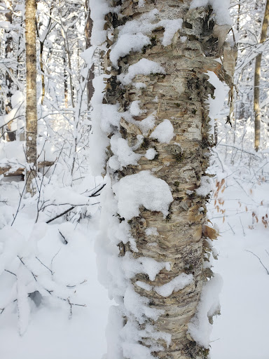
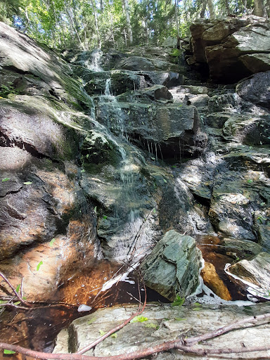
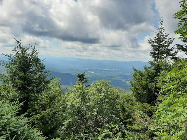
The Canty Trail
Old Turnpike Rd, Mendon, VT 05701
4.8(18)
Open until 12:00 AM
Save
spot
spot
Ratings & Description
Info
Outdoor
Adventure
Scenic
Pet friendly
Off the beaten path
attractions: , restaurants: , local businesses:
Open hoursSee all hours
WedOpen 24 hoursOpen
Plan your stay

Pet-friendly Hotels in Mendon
Find a cozy hotel nearby and make it a full experience.

Affordable Hotels in Mendon
Find a cozy hotel nearby and make it a full experience.

The Coolest Hotels You Haven't Heard Of (Yet)
Find a cozy hotel nearby and make it a full experience.

Trending Stays Worth the Hype in Mendon
Find a cozy hotel nearby and make it a full experience.
Reviews
Live events
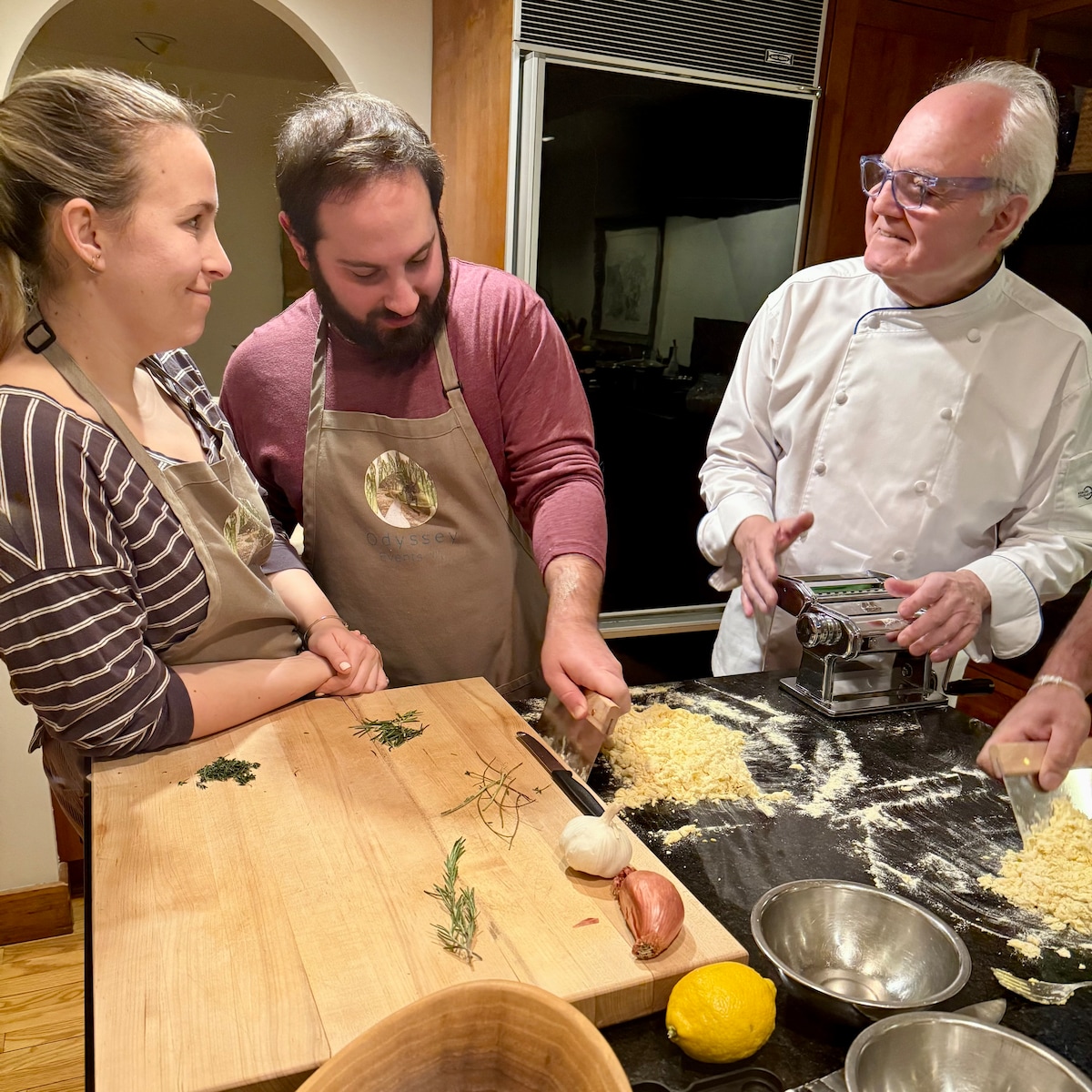
Make pasta with award-winning chef
Sat, Feb 28 • 6:00 PM
Bridgewater, Vermont, 05035, United States
View details

Cook traditional Celtic cuisine
Thu, Feb 26 • 6:00 PM
Bridgewater, Vermont, 05035
View details

K1
Wed, Feb 25 • 2:00 PM
K1 Base Lodge, Killington, Vermont, United States
View details