Labarque Creek Conservation Area things to do, attractions, restaurants, events info and trip planning

Basic Info
Labarque Creek Conservation Area
Valley Dr, Pacific, MO 63069
4.6(100)
Open until 10:00 PM
Save
spot
spot
Ratings & Description
Info
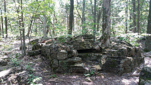
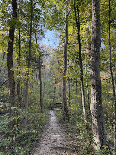
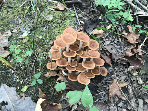
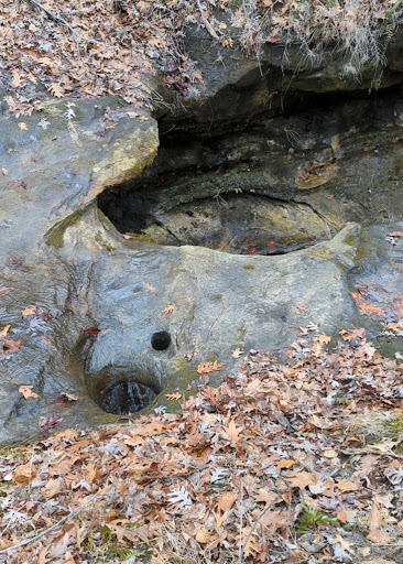
LaBarque Creek Conservation Area consists of 1,274 acres in northwestern Jefferson County, Missouri. It is south of Pacific and southwest of Eureka. The LCCA is part of the Henry Shaw Ozark Corridor.
Outdoor
Adventure
Scenic
Pet friendly
Family friendly
attractions: , restaurants: , local businesses:
Phone
(636) 441-4554
Website
mdc.mo.gov
Open hoursSee all hours
Tue4 AM - 10 PMOpen
Plan your stay

Pet-friendly Hotels in Meramec Township
Find a cozy hotel nearby and make it a full experience.

Affordable Hotels in Meramec Township
Find a cozy hotel nearby and make it a full experience.

The Coolest Hotels You Haven't Heard Of (Yet)
Find a cozy hotel nearby and make it a full experience.

Trending Stays Worth the Hype in Meramec Township
Find a cozy hotel nearby and make it a full experience.
Reviews
Live events

Play Date & Toy Swap
Tue, Feb 24 • 9:00 AM
Your Village: Health and Wellness, Education and Play, 78 Clarkson Rd, Chesterfield, MO 63017-7277, United States
View details

It’s Ok to NOT be ok - Chesterfield, MO
Tue, Feb 24 • 11:30 AM
Firefly Grill STL, 101 Chesterfield Towne Center, Chesterfield, United States
View details

Dropkick Murphys, Haywire, The Aggrolites in Chesterfield
Tue, Feb 24 • 7:00 PM
The Factory, The Factory, Chesterfield, MO, United States
View details