Boyd Big Tree Preserve Conservation Area things to do, attractions, restaurants, events info and trip planning
Basic Info
Boyd Big Tree Preserve Conservation Area
401 Fishing Creek Valley Rd, Harrisburg, PA 17112
4.7(343)
Open until 8:30 PM
Save
spot
spot
Ratings & Description
Info
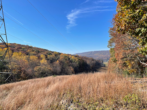
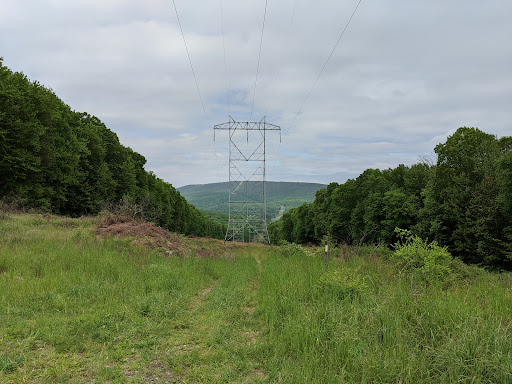
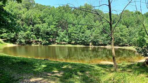
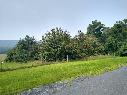
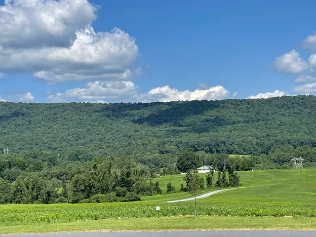
Boyd Big Tree Preserve Conservation Area is a 949.49-acre Pennsylvania state park in Lower Paxton and Middle Paxton Townships in Dauphin County, Pennsylvania. The land for the conservation area was donated to the state by real estate developer Alex Boyd in 1999.
Outdoor
Adventure
Scenic
Family friendly
Pet friendly
Off the beaten path
attractions: , restaurants: , local businesses: Valley Grocery
Phone
(717) 567-9255
Website
dcnr.pa.gov
Open hoursSee all hours
Tue5:45 AM - 8:30 PMOpen
Plan your stay

Pet-friendly Hotels in Middle Paxton Township
Find a cozy hotel nearby and make it a full experience.

Affordable Hotels in Middle Paxton Township
Find a cozy hotel nearby and make it a full experience.

The Coolest Hotels You Haven't Heard Of (Yet)
Find a cozy hotel nearby and make it a full experience.

Trending Stays Worth the Hype in Middle Paxton Township
Find a cozy hotel nearby and make it a full experience.
Reviews
Live events

Queens of Karma Drag Brunch: Breakfast in Bed
Sun, Feb 22 • 11:00 AM
706 North 3rd Street Harrisburg, PA 17102
View details

The Splendor of the Orchestra and Piano
Sun, Feb 22 • 3:00 PM
433 East Main Street Hummelstown, PA 17036
View details

Candlelight: 90s Unplugged
Sat, Feb 21 • 6:30 PM
222 Market St, Harrisburg, 17101
View details
Nearby local services of Boyd Big Tree Preserve Conservation Area
Valley Grocery
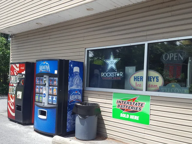
Valley Grocery
4.5
(24)
Click for details