Temelpa Trailhead things to do, attractions, restaurants, events info and trip planning
Basic Info
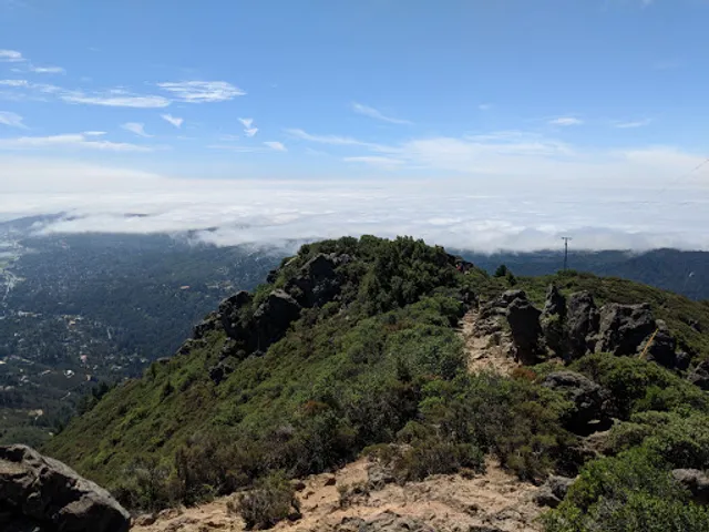
Temelpa Trailhead
750-760 Summit Ave, Mill Valley, CA 94941
4.7(35)
Open until 12:00 AM
Save
spot
spot
Ratings & Description
Info
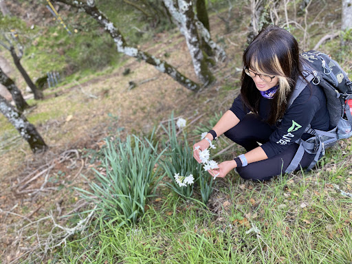
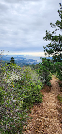
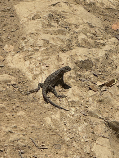
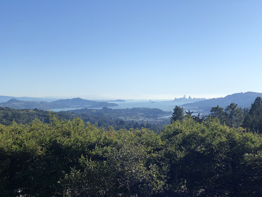
Outdoor
Adventure
Scenic
Pet friendly
Off the beaten path
attractions: Blithedale Summit Trailhead, Cascade Falls Trailhead, restaurants: , local businesses: Enchanted Waterfall Sanctuary, O'Hanlon Center For the Arts
Phone
(510) 685-3835
Open hoursSee all hours
SunOpen 24 hoursOpen
Plan your stay

Pet-friendly Hotels in Mill Valley
Find a cozy hotel nearby and make it a full experience.

Affordable Hotels in Mill Valley
Find a cozy hotel nearby and make it a full experience.

The Coolest Hotels You Haven't Heard Of (Yet)
Find a cozy hotel nearby and make it a full experience.

Trending Stays Worth the Hype in Mill Valley
Find a cozy hotel nearby and make it a full experience.
Reviews
Live events

AURA: An Immersive Odyssey of Breathtaking Proportions
Sun, Feb 8 • 8:00 PM
1100 California St, San Francisco, CA, 94108
View details

Wilderness First Aid with CPR and AED (SOLO Certification)
Sat, Feb 7 • 8:00 AM
1100 James Place, El Cerrito, CA 94530
View details

Discover Your Path: East Bay Wellness Tasting Menu
Sun, Feb 8 • 11:00 AM
5500 Doyle Street Emeryville, CA 94608
View details
Nearby attractions of Temelpa Trailhead
Blithedale Summit Trailhead
Cascade Falls Trailhead

Blithedale Summit Trailhead
4.8
(43)
Open until 12:00 AM
Click for details
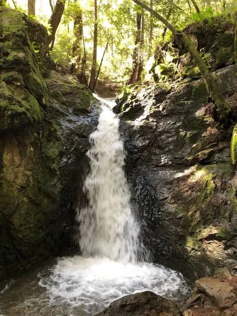
Cascade Falls Trailhead
4.7
(238)
Open 24 hours
Click for details
Nearby local services of Temelpa Trailhead
Enchanted Waterfall Sanctuary
O'Hanlon Center For the Arts

Enchanted Waterfall Sanctuary
4.9
(12)
Click for details

O'Hanlon Center For the Arts
4.8
(19)
Click for details