Fonta Flora County Park and Connector Trailhead things to do, attractions, restaurants, events info and trip planning
Basic Info
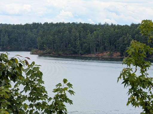
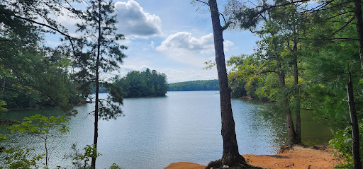
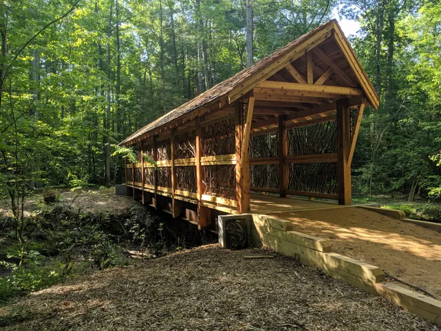
Fonta Flora County Park and Connector Trailhead
126 NC-126, Morganton, NC 28655
4.7(186)
Closed
Save
spot
spot
Ratings & Description
Info
Outdoor
Adventure
Scenic
Family friendly
Pet friendly
attractions: , restaurants: , local businesses:
Open hoursSee all hours
Thu6 AM - 6 PMClosed
Plan your stay

Pet-friendly Hotels in Morganton
Find a cozy hotel nearby and make it a full experience.

Affordable Hotels in Morganton
Find a cozy hotel nearby and make it a full experience.

The Coolest Hotels You Haven't Heard Of (Yet)
Find a cozy hotel nearby and make it a full experience.

Trending Stays Worth the Hype in Morganton
Find a cozy hotel nearby and make it a full experience.
Reviews
Live events

A Taste of Ireland
Thu, Feb 26 • 7:00 PM
Morganton Municipal Auditorium At CoMMA Performing Arts Center, 401 College St, Morganton, United States
View details

CPR & First Aid
Sat, Feb 28 • 8:00 AM
304 West Union Street Morganton, NC 28655
View details

Scrapping for Paws - Scrapbook Crop Fundraiser for Spay / Neuter
Sat, Feb 28 • 8:00 AM
130 Ammons Dr, Morganton, NC 28655-4600, United States
View details